


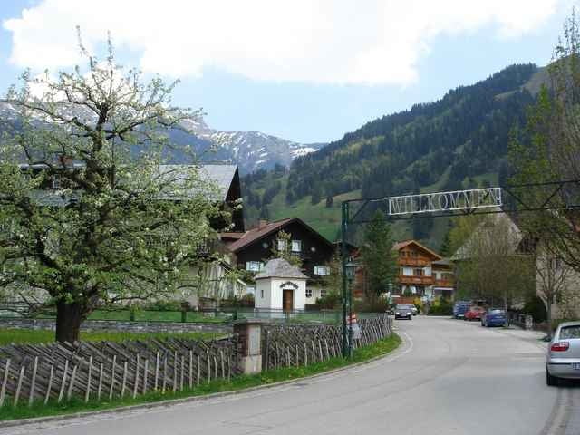
07.05.06 – Vom Chalet 5 - Wetzlgut (oberhalb des Bahnhofs von Bad Gastein) geht die gemütliche Runde über folgende Ortschaften und wieder zurück: Bad Bruck, Gadaunern, Bad Hofgastein, Laderding, Harbach, Dorfgastein, Wieden, Haitzing und Lafen.
Further information at
http://www.gastein.comTour gallery
Tour map and elevation profile
Minimum height 818 m
Maximum height 1116 m
More about the tour author
|
|
exitus |
Comments

Autobahn A10 (von Salzburg oder Villach kommend) abfahrt Bischofshofen, weiter auf der B311 bis kurz vor Lend - abbiegen auf die B167 nach Bad Gastein (Plz 5640).
GPS tracks
Trackpoints-
GPX / Garmin Map Source (gpx) download
-
TCX / Garmin Training Center® (tcx) download
-
CRS / Garmin Training Center® (crs) download
-
Google Earth (kml) download
-
G7ToWin (g7t) download
-
TTQV (trk) download
-
Overlay (ovl) download
-
Fugawi (txt) download
-
Kompass (DAV) Track (tk) download
-
Track data sheet (pdf) download
-
Original file of the author (gpx) download
More about the tour author
|
|
exitus |
Add to my favorites
Remove from my favorites
Edit tags
Open track
My score
Rate