Login

Forgot your login?

Cookies have to be accepted!
Your browser's cookie functionality is disabled. Please enable this functionality.

Not a member yet?

Register now
Login

Available for registred users only

Log in to use this feature.

Forgot your login?

Cookies have to be accepted!
Your browser's cookie functionality is disabled. Please enable this functionality.

Not a member yet?

Register now
Filter
Categories
Advanced filters
  • Distance (km)
  • Height
Save filters Reset filter

TrackRank

QRCode

Technical data

Distance37,3 km Height440 m Way down422 m Duration02:00 h:m Date14.05.2006
Scores Author User Landscape Fun factor Fitness Technique

Statistics

3520 Views 4 Scores 677 Downloads 4.25 Average
Rate
  • Track data sheet
  • Directions
  • Downloads
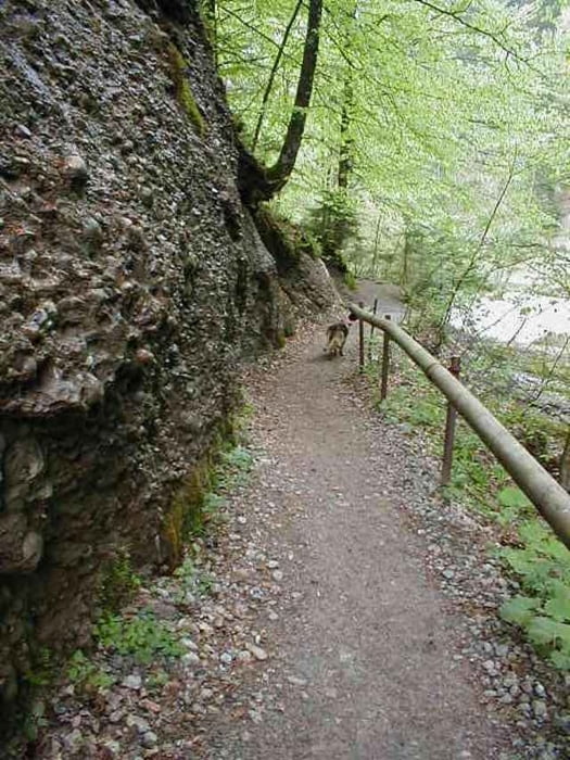
Schöne zwei Stundentour mit einigen interresanten Trails (teilweise angelegt mit Sprungrampen !), schnellen Abfahrten und einigen Einkehrmöglichkeiten.

Further information at

http://www.gwebspace.de/blazer_x/

Tour gallery

Tour map and elevation profile

  • Open Street Map
  • Google
Minimum height 382 m Maximum height 546 m Detailed view

More about the tour author

Blazer_x
Member since 2006

Send private message

Comments

Bernd on 14.05.2006

Sehr schöne und interessante Tour; empfehlenswert!
Tipp: Einkehrschwung im Campingplatz Laimnau
Henne404 on 02.06.2006

Sehr gute Tour mit einigen anspruchsvollen Passagen.

Hallo,

schön das sie Dir gefällt, hat alles geklappt mit dem nachfahren ?
coolhead on 03.08.2006

Schöne Strecke nur ohne GPS mit Verfahrgarantie.
Start und Ziel dieser Tour ist der Campingplatz Gohren zwischen Langenargen und Kressbronn in der Nähe von Friedrichshafen.

GPS tracks

Trackpoints
  • GPX / Garmin Map Source (gpx) download
  • TCX / Garmin Training Center® (tcx) download
  • CRS / Garmin Training Center® (crs) download
  • Google Earth (kml) download
  • G7ToWin (g7t) download
  • TTQV (trk) download
  • Overlay (ovl) download
  • Fugawi (txt) download
  • Kompass (DAV) Track (tk) download
  • Track data sheet (pdf) download
  • Original file of the author (gpx) download

More about the tour author

Blazer_x
Member since 2006

Send private message
Share track
Add to my favorites
Remove from my favorites
Edit tags
My score
Rate
Track: Tettnanger Wald
Type: Mountain bike
Distance: 37,3 km
Evaluated on:
Duration:
Day(s)
Hour(s)
Minute(s)
Score: Landscape Fun factor Fitness Technique