


Die Wanderung entspricht der Tour 26 aus dem Rother Wanderführer Bretagne.
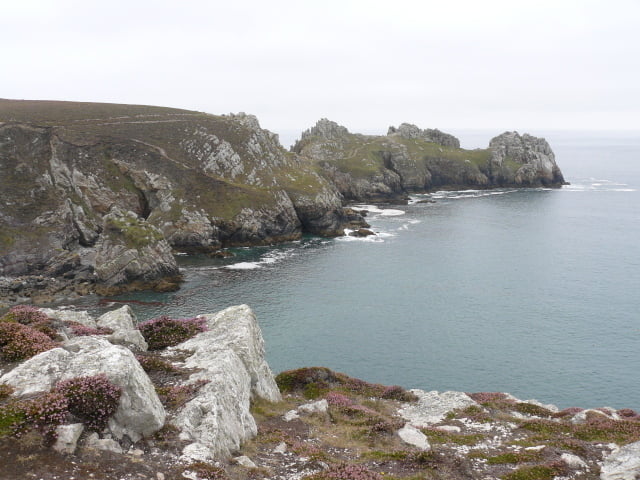
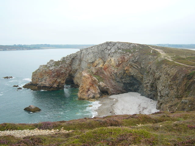
Die Tour startet vom Parkplatz am Strand von Goulien. Man folgt ein kurzes Stück der Teerstraße, dann geht es hinauf auf die Klippen. Der Weg Verläuft entlang der Küstenlinie vorbei am Pointe de Dinan mit dem Chateau de Dinan. Dies ist kein Schloss, sondern eine interessante Felsformation mit Felsentor. Es geht weiter an der Küste entlang bis zum Pointe de Lostmarc'h.
Der restliche Weg zuück zum Parkplatz verläuft durch das Landesinnere.
Tour gallery
Tour map and elevation profile
Minimum height 2 m
Maximum height 64 m
More about the tour author

|
kaestle |
Comments

GPS tracks
Trackpoints-
GPX / Garmin Map Source (gpx) download
-
TCX / Garmin Training Center® (tcx) download
-
CRS / Garmin Training Center® (crs) download
-
Google Earth (kml) download
-
G7ToWin (g7t) download
-
TTQV (trk) download
-
Overlay (ovl) download
-
Fugawi (txt) download
-
Kompass (DAV) Track (tk) download
-
Track data sheet (pdf) download
-
Original file of the author (gpx) download
More about the tour author
|
|
kaestle |
Add to my favorites
Remove from my favorites
Edit tags
Open track
My score
Rate