Login

Forgot your login?

Cookies have to be accepted!
Your browser's cookie functionality is disabled. Please enable this functionality.

Not a member yet?

Register now
Login

Available for registred users only

Log in to use this feature.

Forgot your login?

Cookies have to be accepted!
Your browser's cookie functionality is disabled. Please enable this functionality.

Not a member yet?

Register now
Filter
Categories
Advanced filters
  • Distance (km)
  • Height
Save filters Reset filter

TrackRank

QRCode

Technical data

Distance43,6 km Height407 m Way down414 m Duration04:00 h:m Date25.05.2009
Scores Author Landscape Fun factor Fitness Technique

Statistics

583 Views Scores 113 Downloads Average
Rate
  • Track data sheet
  • Directions
  • Downloads
Interessante Tour nah an Köln mit viel Wald. Besonders interessant hintendran ein Blick über die Quarzsandwüste... Die letzten 25% wurden "blind" in ToPo-Karten hinzugefügt und erwiesen sich als sehr spaßig!

Tour map and elevation profile

  • Open Street Map
  • Google
Minimum height 43 m Maximum height 161 m Detailed view

More about the tour author

wizzzard
Member since 2008

Send private message

Comments

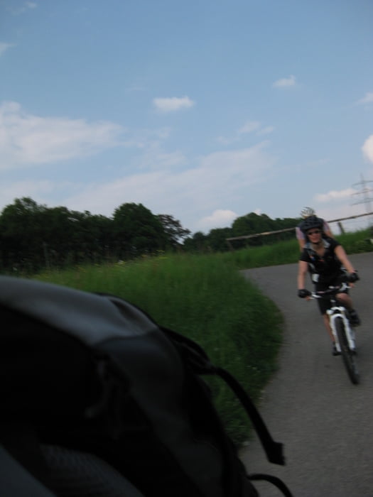
Seitenstraße in Bachem

GPS tracks

Trackpoints
  • GPX / Garmin Map Source (gpx) download
  • TCX / Garmin Training Center® (tcx) download
  • CRS / Garmin Training Center® (crs) download
  • Google Earth (kml) download
  • G7ToWin (g7t) download
  • TTQV (trk) download
  • Overlay (ovl) download
  • Fugawi (txt) download
  • Kompass (DAV) Track (tk) download
  • Track data sheet (pdf) download
  • Original file of the author (gpx) download

More about the tour author

wizzzard
Member since 2008

Send private message
Share track
Add to my favorites
Remove from my favorites
Edit tags
My score
Rate
Track: Königsdorfer Wald - Brennessel-Tour
Type: Mountain bike
Distance: 43,6 km
Evaluated on:
Duration:
Day(s)
Hour(s)
Minute(s)
Score: Landscape Fun factor Fitness Technique