
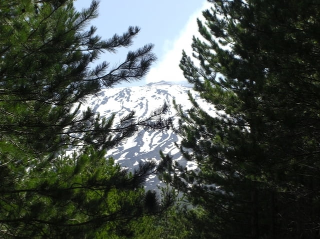

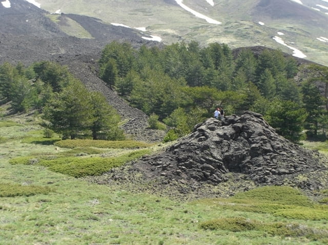
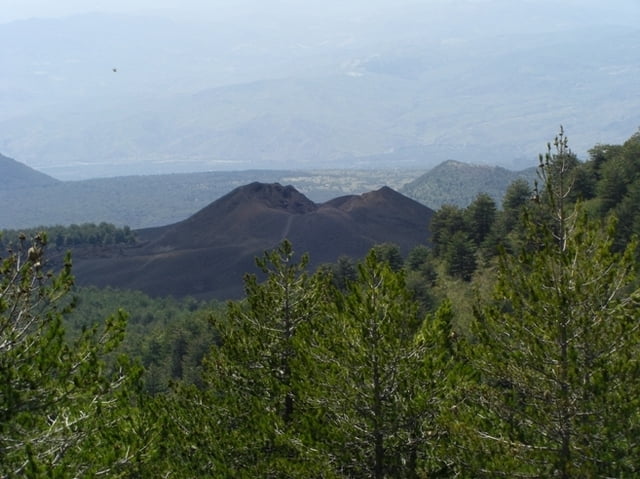
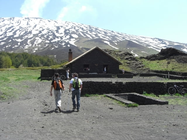
Percorso semplice e divertente da fare con gli amici. Si parte dal parcheggio della forestale dove si può lasciare la macchina e si percorre la salita attraverso i boschi fino ad arrivare al rifugio Galvarina (1876 m) o poi al rifugio Palestra (1919 m). Da qui si scende per un breve fuori pista verso il monte Defiore. Si arriva dopo un breve tratto su deserto lavico. Rientro ad anello.
Tour gallery

Tour map and elevation profile
Minimum height 1523 m
Maximum height 1940 m
More about the tour author

|
alaimo80 |
Comments

Da Adrano seguire indicazioni per Pineta - Piano Fiera (circa 13 km)
GPS tracks
Trackpoints-
GPX / Garmin Map Source (gpx) download
-
TCX / Garmin Training Center® (tcx) download
-
CRS / Garmin Training Center® (crs) download
-
Google Earth (kml) download
-
G7ToWin (g7t) download
-
TTQV (trk) download
-
Overlay (ovl) download
-
Fugawi (txt) download
-
Kompass (DAV) Track (tk) download
-
Track data sheet (pdf) download
-
Original file of the author (gpx) download
More about the tour author
|
|
alaimo80 |
Add to my favorites
Remove from my favorites
Edit tags
Open track
My score
Rate