


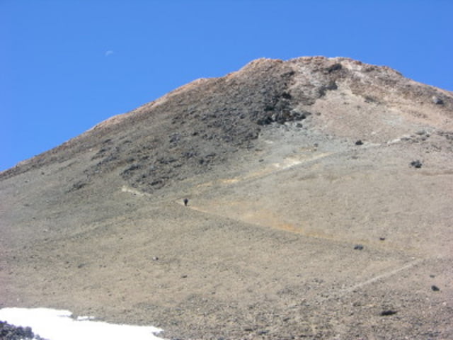
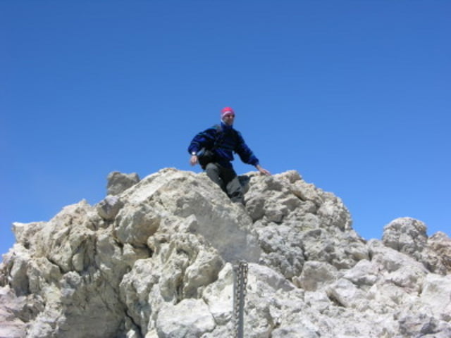
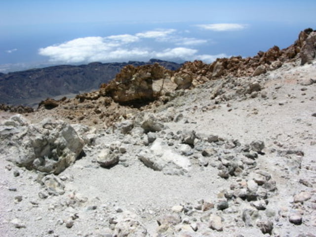
Bei KM40 ist ein kleiner Parkplatz und von hier aus geht es los auf leichten Wegen. Immer der Schotterstraße entlang bis zur Montana Blanca vorbei an den "Teide Eiern". Jetzt auf kleinen Pfad bis zur Rambletta, ein Panoramaweg auf 3500m Höhe für Touristen. Diesen folgen wir bis zur Rangerstation, hier wird die Gipfelerlaubnis abgegeben (für den Fall daß diese auch hier sind). Der Gipfelaufstieg ist sehr steil und oben auf dem Gipfel kann der Wind ziemlich stark blasen.
Retour über den selben Weg oder mit der Seilbahn wenn sie denn geht.
Tour gallery
Tour map and elevation profile
Minimum height 2226 m
Maximum height 3739 m
More about the tour author
|
|
tazzo |
Comments

Bei KM 40 von der Seilbahnstation in Richtung Puerto de la Cruz, kleiner Parkplatz.
GPS tracks
Trackpoints-
GPX / Garmin Map Source (gpx) download
-
TCX / Garmin Training Center® (tcx) download
-
CRS / Garmin Training Center® (crs) download
-
Google Earth (kml) download
-
G7ToWin (g7t) download
-
TTQV (trk) download
-
Overlay (ovl) download
-
Fugawi (txt) download
-
Kompass (DAV) Track (tk) download
-
Track data sheet (pdf) download
-
Original file of the author (gpx) download
More about the tour author
|
|
tazzo |
Add to my favorites
Remove from my favorites
Edit tags
Open track
My score
Rate