


Von Tarvisio nach Duna Verde
Eigentlich meine Urlaubsreiseantrittstour.
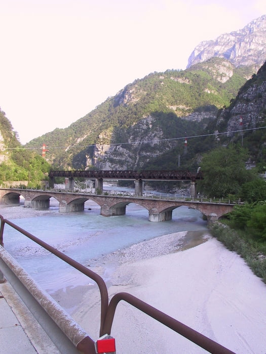
Von Tarvisio geht es durchs Kanaltal ständig bergab. Der landschaftliche Reiz ist einzigartig. Der Hauptverkehr läuft ohnedies über die Autobahn, deshalb ist entspanntes fahren zumindest mal bis Gemona angesagt.
Von dort verlasse ich die Hauptstrasse und schlage mich quer durch, immer auf der suche nach landschaftlichen Reizen.
Nicht unterschätzen sollte man die vielen Hügelchen, unmerklich schleichen sie sich in die Beine.
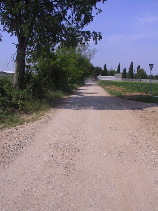
Es kommt immer wieder vor das man auf stak befahrene Strassen gerät. Dank meines Oregons finde ich immer wieder Seitenwege wenn’s auch über Schotter geht.
Um etwas Zeit einzusparen fuhr ich manchmal Hauptstrassen. Würde in jedem Fall davon abraten.
Auffallend war auch noch das die Hitze ein nicht unerheblicher Faktor wird.
Vom Landschaftlichem her aber ein Genuss vom Anfang bis zum ende.
Viel Spaß beim fahren
Touringer61
Tour gallery


Tour map and elevation profile
Minimum height -9 m
Maximum height 821 m
More about the tour author

|
Touringer61 |
Comments

GPS tracks
Trackpoints-
GPX / Garmin Map Source (gpx) download
-
TCX / Garmin Training Center® (tcx) download
-
CRS / Garmin Training Center® (crs) download
-
Google Earth (kml) download
-
G7ToWin (g7t) download
-
TTQV (trk) download
-
Overlay (ovl) download
-
Fugawi (txt) download
-
Kompass (DAV) Track (tk) download
-
Track data sheet (pdf) download
-
Original file of the author (gpx) download
More about the tour author
|
|
Touringer61 |
Add to my favorites
Remove from my favorites
Edit tags
Open track
My score
Rate