


Der Weg ist das Ziel!
Bei dieser Tour kommen Trailliebhaber wieder voll auf ihre Kosten. Die Ansteige der Tour sind mit die einfachsten in diesen Gebiet, so dass man sich alle Körner für die bevorstehenden Trails aufheben kann. Eine solide Bikebeherschung wird vorrausgesetzt. Weiterhin sollte man keine Höhenangst besitzen, da Teile der Strecke auf abschüssigen Wegen verläuft.
Bitte auf Wanderer rücksicht nehmen!!!
Viel Spaß!
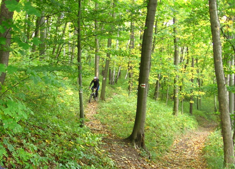
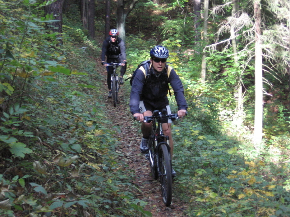
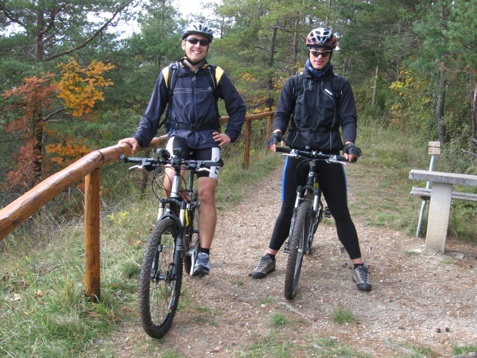
Tour gallery
Tour map and elevation profile
Minimum height 144 m
Maximum height 408 m
More about the tour author
|
|
Kempi |
Comments

GPS tracks
Trackpoints-
GPX / Garmin Map Source (gpx) download
-
TCX / Garmin Training Center® (tcx) download
-
CRS / Garmin Training Center® (crs) download
-
Google Earth (kml) download
-
G7ToWin (g7t) download
-
TTQV (trk) download
-
Overlay (ovl) download
-
Fugawi (txt) download
-
Kompass (DAV) Track (tk) download
-
Track data sheet (pdf) download
-
Original file of the author (gpx) download
More about the tour author
|
|
Kempi |
Add to my favorites
Remove from my favorites
Edit tags
Open track
My score
Rate