


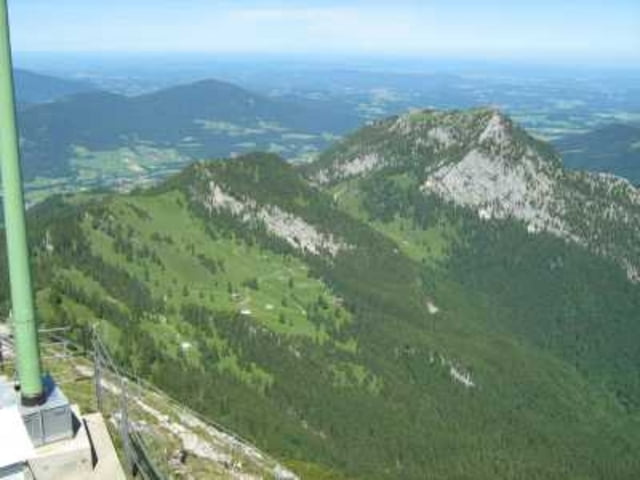
Start ist der Bahnhof Bayrisch Zell von der BOB. Wir gehen über die ausgeschilderten Wege zum Wendelstein in ca 2:30 bis zum überlaufenen Gipfel. Ab der Seilbahnstation ist das Gelände "Seniorengerecht ausgebaut". Nach einer Pause gehen wir den Panoramaweg nördlich um den Gipfel bis zum Kirchlein, überqueren die Gaststätte und weiter in Richtung Breitenstein / Birkenstein. Den Schweinsberg nehmen wir dabei noch kurzerhand mit, sind gerade mal 50Hm. Weiter geht es in Richtung Breitenstein vorbei an der Kessel-Alm und Hubertus Hütte (noch humane Preise). Zum Gipfel sind es gerade mal 15 Minuten von hier. Der Abstieg führt nach Birkenstein, kurz davor nehmen wir den Abzweig nach Geitau zum Bahnhof (das sind 30 Minuten zu gehen).
Tour gallery
Tour map and elevation profile
Minimum height 773 m
Maximum height 1839 m
More about the tour author
|
|
tazzo |
Comments

mit der B.O.B. bis nach Bayrisch Zell erster Zug ab MUC HBF um 6:40 Uhr.
GPS tracks
Trackpoints-
GPX / Garmin Map Source (gpx) download
-
TCX / Garmin Training Center® (tcx) download
-
CRS / Garmin Training Center® (crs) download
-
Google Earth (kml) download
-
G7ToWin (g7t) download
-
TTQV (trk) download
-
Overlay (ovl) download
-
Fugawi (txt) download
-
Kompass (DAV) Track (tk) download
-
Track data sheet (pdf) download
-
Original file of the author (gpx) download
More about the tour author
|
|
tazzo |
Add to my favorites
Remove from my favorites
Edit tags
Open track
My score
Rate