


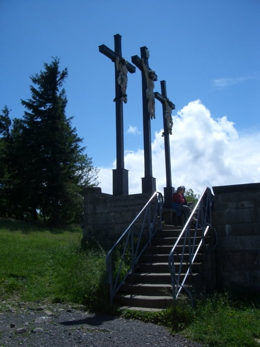
Der Weg von Hettstadt zum Kloster Kreuzberg:
Hettstadt - Margetshöchheim - Veitshöchheim - Gadheim - Güntersleben - Gramschatz - Arnstein - Schwebenried - Burghausen - Wülfershausen a.d. Saale - Sulzthal - Euerdorf - Stralsbach - Burkardroth - Steinberg - Premich - Langenleiten - Guckaspaß - Kloster Kreuzberg
Es ist zum größten Teil der Weg wie die Würzburger Wallfahrer zum Kreuzberg laufen.
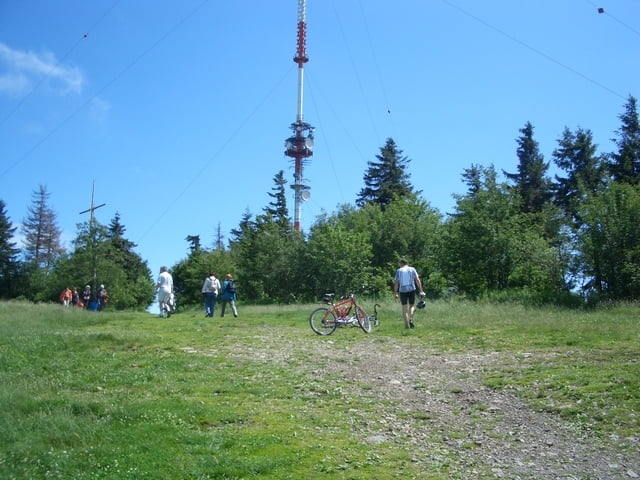
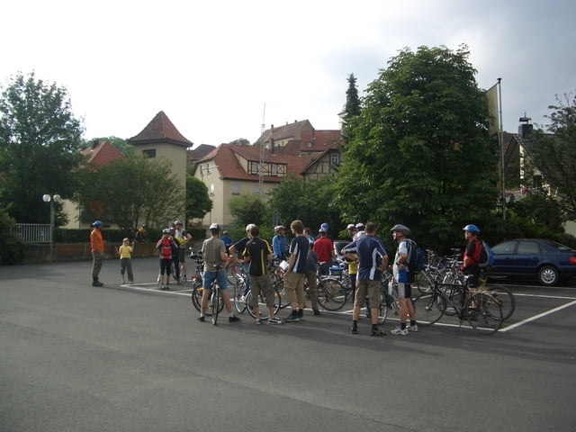
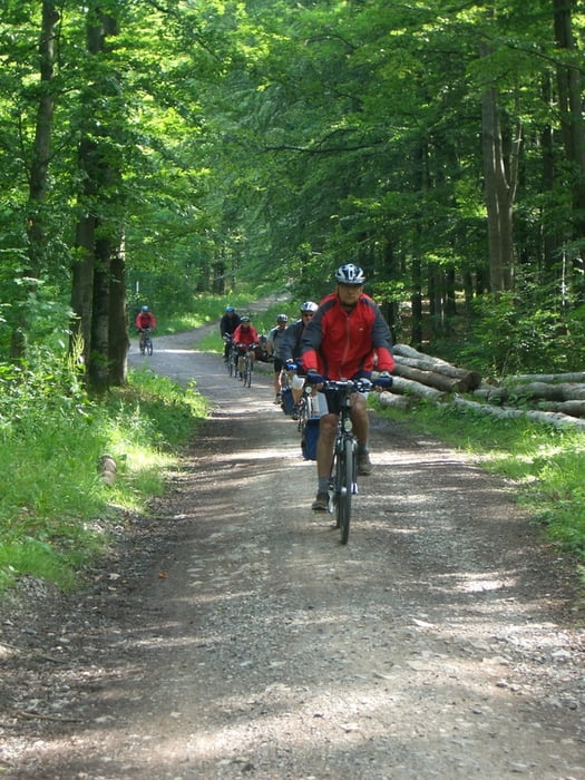
Tour gallery
Tour map and elevation profile
Minimum height 172 m
Maximum height 856 m
More about the tour author

|
bruno68 |
Comments

Start ist der Parkplatz am Friedhof in Hettstadt
Von Würzburg kommend die 3. Einfahrt in die Martinsstraße nehmen, an der Würzburger Straße links abbiegen, an der nächsten Gabelung rechts in die Greußenheimer Straße und nach 20m rechts in den Neuen Weg abbiegen, nach ca. 300m ist rechts die Kirche, oberhalb ist der Friedhof.
GPS tracks
Trackpoints-
GPX / Garmin Map Source (gpx) download
-
TCX / Garmin Training Center® (tcx) download
-
CRS / Garmin Training Center® (crs) download
-
Google Earth (kml) download
-
G7ToWin (g7t) download
-
TTQV (trk) download
-
Overlay (ovl) download
-
Fugawi (txt) download
-
Kompass (DAV) Track (tk) download
-
Track data sheet (pdf) download
-
Original file of the author (gpx) download
More about the tour author
|
|
bruno68 |
Add to my favorites
Remove from my favorites
Edit tags
Open track
My score
Rate