Login

Forgot your login?

Cookies have to be accepted!
Your browser's cookie functionality is disabled. Please enable this functionality.

Not a member yet?

Register now
Login

Available for registred users only

Log in to use this feature.

Forgot your login?

Cookies have to be accepted!
Your browser's cookie functionality is disabled. Please enable this functionality.

Not a member yet?

Register now
Filter
Categories
Advanced filters
  • Distance (km)
  • Height
Save filters Reset filter

TrackRank

QRCode

Technical data

Distance38,0 km Height257 m Way down244 m Duration01:48 h:m Date21.06.2009
Scores Author Landscape Fun factor Fitness Technique

Statistics

453 Views Scores 38 Downloads Average
Rate
  • Track data sheet
  • Directions
  • Downloads
Da mein Navi falsch eingestellt war, habe ich die ersten Abschnitte mit Route Converter eingefügt. Dort fehlt auch das Höhenprofil.

Further information at

http://www.ahlen.de/

Tour gallery

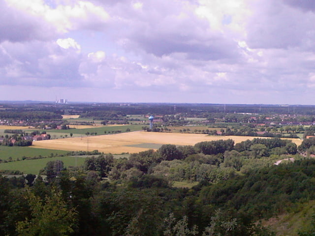
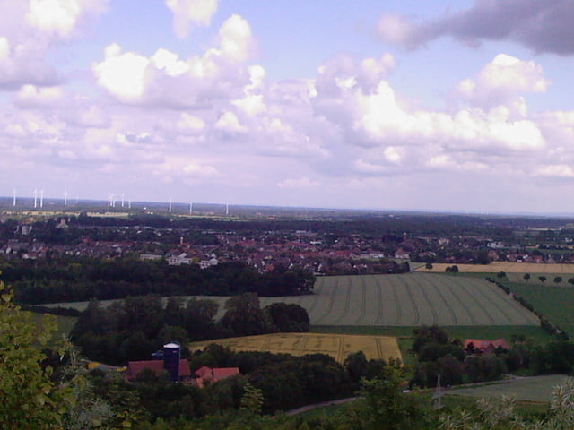
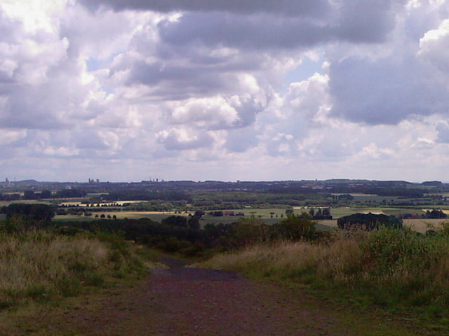
Tour map and elevation profile

  • Open Street Map
  • Google
Minimum height 46 m Maximum height 173 m Detailed view

More about the tour author

peropae
Member since 2009

Send private message

Comments

GPS tracks

Trackpoints
  • GPX / Garmin Map Source (gpx) download
  • TCX / Garmin Training Center® (tcx) download
  • CRS / Garmin Training Center® (crs) download
  • Google Earth (kml) download
  • G7ToWin (g7t) download
  • TTQV (trk) download
  • Overlay (ovl) download
  • Fugawi (txt) download
  • Kompass (DAV) Track (tk) download
  • Track data sheet (pdf) download
  • Original file of the author (gpx) download

More about the tour author

peropae
Member since 2009

Send private message
Share track
Add to my favorites
Remove from my favorites
Edit tags
My score
Rate
Track: Pättkes um Ahlen 3 mit Halde
Type: Bicycle tours
Distance: 38,0 km
Evaluated on:
Duration:
Day(s)
Hour(s)
Minute(s)
Score: Landscape Fun factor Fitness Technique