


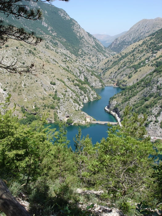
Über die Brücke, vorbei an dem Kirchlein San Domenica, geht es über das Freizeitgelände in Richtung Wald. Der Wanderweg ist teilweise markiert und windet sich langsam ansteigend hinauf bis nach Villalago. Immer wieder gibt es einen schönen Blick auf den See. Zurück führt die Wanderung dann über die wenig befahrene SS 479 zurück zum Parkplatz.
Tour gallery
Tour map and elevation profile
Minimum height 805 m
Maximum height 979 m
More about the tour author

|
rödivomsee |
Comments
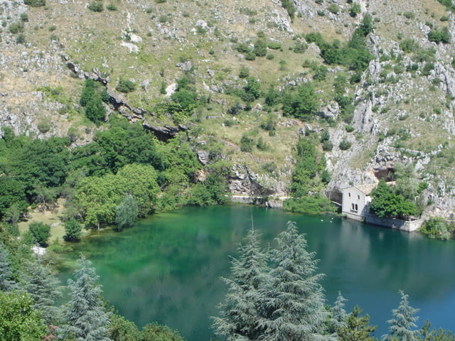
Von Sulmona fährt man über die SS 479 in Richtung Scanno. Am Lago di Domenico angekommen befindet sich auf der rechten Seite der Übergang zum Kirchlein von San Domenico. Ein paar Meter weiter kommt dann auf der linken Seite ein kleiner Parkplatz.
GPS tracks
Trackpoints-
GPX / Garmin Map Source (gpx) download
-
TCX / Garmin Training Center® (tcx) download
-
CRS / Garmin Training Center® (crs) download
-
Google Earth (kml) download
-
G7ToWin (g7t) download
-
TTQV (trk) download
-
Overlay (ovl) download
-
Fugawi (txt) download
-
Kompass (DAV) Track (tk) download
-
Track data sheet (pdf) download
-
Original file of the author (gpx) download
More about the tour author
|
|
rödivomsee |
Add to my favorites
Remove from my favorites
Edit tags
Open track
My score
Rate
I did the walk