


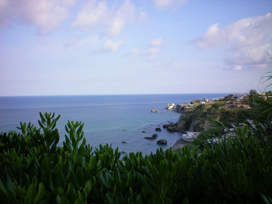
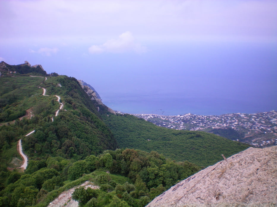
An der Haltestelle "Citara" in Forio auf Asphalt (wenig Autos) steil bis zum WP1. Dort dann auf tollen Steigen durch den Wald bis WP2 und links hinauf zum Mt. Epemeo
Wieder zurück kann man am WP2 auch links abbiegen und Alternativ nach Ischia Porto oder Casamicciola Terme wandern (siehe Tour 37944 - Ischiadurchquerung)
Folgt man aber diesem Track kommt man nach Fontana (auf breitem Weg durch tolle, schattige Schluchten) direkt an eine Bushaltestelle
Further information at
http://www.pithecusa.com/Spostarsi/bus.htmTour gallery


Tour map and elevation profile
Minimum height 69 m
Maximum height 801 m
More about the tour author

|
bm89 |
Comments

Am besten man nimmt die Linie "CS" oder "CD" je nachdem von wo man kommt zur Haltestelle "Citara"
Busfahrpläne siehe Link unten
GPS tracks
Trackpoints-
GPX / Garmin Map Source (gpx) download
-
TCX / Garmin Training Center® (tcx) download
-
CRS / Garmin Training Center® (crs) download
-
Google Earth (kml) download
-
G7ToWin (g7t) download
-
TTQV (trk) download
-
Overlay (ovl) download
-
Fugawi (txt) download
-
Kompass (DAV) Track (tk) download
-
Track data sheet (pdf) download
-
Original file of the author (gpx) download
More about the tour author
|
|
bm89 |
Add to my favorites
Remove from my favorites
Edit tags
Open track
My score
Rate