Login

Forgot your login?

Cookies have to be accepted!
Your browser's cookie functionality is disabled. Please enable this functionality.

Not a member yet?

Register now
Login

Available for registred users only

Log in to use this feature.

Forgot your login?

Cookies have to be accepted!
Your browser's cookie functionality is disabled. Please enable this functionality.

Not a member yet?

Register now
Filter
Categories
Advanced filters
  • Distance (km)
  • Height
Save filters Reset filter

TrackRank

QRCode

Technical data

Distance8,5 km Height456 m Way down460 m Duration00:00 h:m Date14.07.2009
Scores Author Landscape Fun factor Fitness Technique

Statistics

6198 Views Scores 151 Downloads Average
Rate
  • Track data sheet
  • Directions
  • Downloads
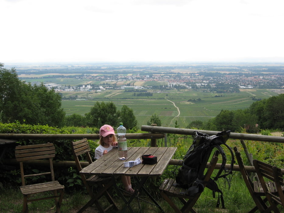
Ich hab die ganze Strecke meine 3 jährige Tocher auf den Schultern getragen - ich denke, ohne diesem zusätzlichen Gepäck wäre der Sparfaktor höher gewesen! Schöne Landschaft und flexible Routenführung lassen unzählige Varianten zu. Achtung die Hütten haben MO und DI Ruhetag.

Tour map and elevation profile

  • Open Street Map
  • Google
Minimum height 254 m Maximum height 685 m Detailed view

More about the tour author

huberj59
Member since 2009

Send private message

Comments

Gumpoldskirchen, kleiner Parkplatz im Ort, rauf Richtung Kalvarienberg und Hubertushütte. Dann ist der Weg markiert - oder siehe meinen Track.

GPS tracks

Trackpoints
  • GPX / Garmin Map Source (gpx) download
  • TCX / Garmin Training Center® (tcx) download
  • CRS / Garmin Training Center® (crs) download
  • Google Earth (kml) download
  • G7ToWin (g7t) download
  • TTQV (trk) download
  • Overlay (ovl) download
  • Fugawi (txt) download
  • Kompass (DAV) Track (tk) download
  • Track data sheet (pdf) download
  • Original file of the author (gpx) download

More about the tour author

huberj59
Member since 2009

Send private message
Share track
Add to my favorites
Remove from my favorites
Edit tags
My score
Rate
Track: Gumpoldskirchen - Anninger - Wilhelmswarte
Type: Hiking
Distance: 8,5 km
Evaluated on:
Duration:
Day(s)
Hour(s)
Minute(s)
Score: Landscape Fun factor Fitness Technique