Login

Forgotten password?

Cookies have to be accepted!
Your browser's cookie functionality is disabled. Please enable this functionality.

Not a member yet?

Register now
Login

Available for registred users only

Log in to use this feature.

Forgotten password?

Cookies have to be accepted!
Your browser's cookie functionality is disabled. Please enable this functionality.

Not a member yet?

Register now
Filter
Categories
Advanced filters
  • Distance (km)
  • Height
Save filters Reset filter

TrackRank

QRCode

Technical data

Distance96,2 km Height124 m Way down132 m Duration00:00 h:m Date20.07.2009
Scores Author Landscape Fun factor Fitness Technique

Statistics

1150 Views Scores 92 Downloads Average
Rate
  • Track data sheet
  • Directions
  • Downloads
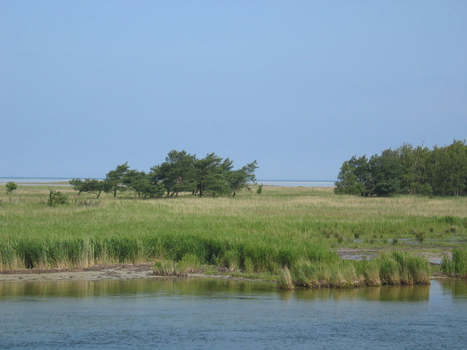
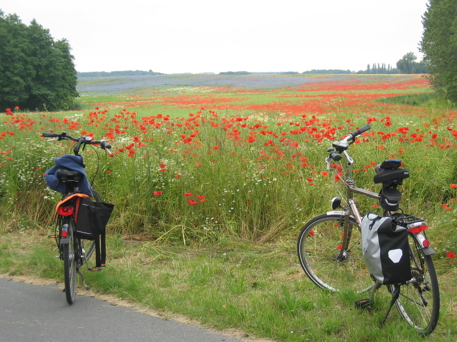
Kombinierte Runde mit dem Schiff nach Stralsund, mit dem Rad nach Barth und zurück nach Zingst mit dem Schiff. Der letzte Teil kann auch gut mit dem Rad gefahren werden.

Tour gallery

Tour map and elevation profile

  • Open Street Map
  • Google
Minimum height -9 m Maximum height 16 m Detailed view

More about the tour author

langerlinux
Member since 2009

Send private message

Comments

GPS tracks

Trackpoints
  • GPX / Garmin Map Source (gpx) download
  • TCX / Garmin Training Center® (tcx) download
  • CRS / Garmin Training Center® (crs) download
  • Google Earth (kml) download
  • G7ToWin (g7t) download
  • TTQV (trk) download
  • Overlay (ovl) download
  • Fugawi (txt) download
  • Kompass (DAV) Track (tk) download
  • Track data sheet (pdf) download
  • Original file of the author (gpx) download

More about the tour author

langerlinux
Member since 2009

Send private message
Share track
Add to my favorites
Remove from my favorites
Edit tags
My score
Rate
Track: Zingst Stralsund Barth
Type: Bicycle tours
Distance: 96,2 km
Evaluated on:
Duration:
Day(s)
Hour(s)
Minute(s)
Score: Landscape Fun factor Fitness Technique