


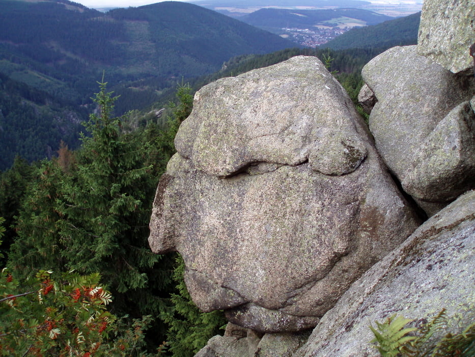
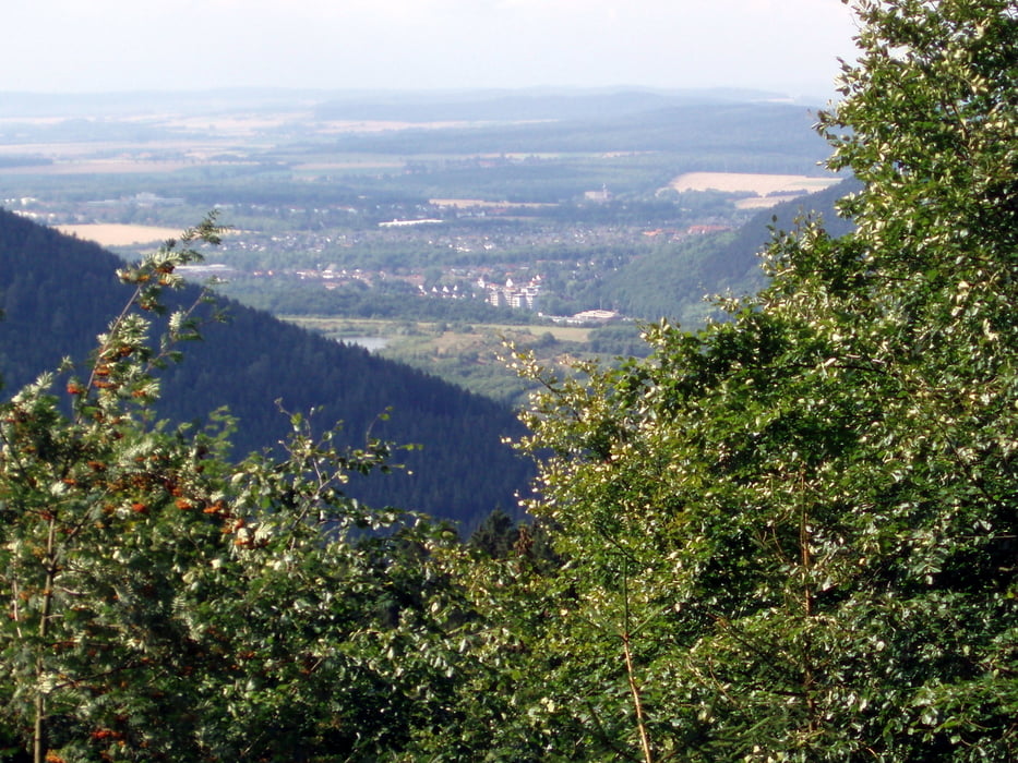
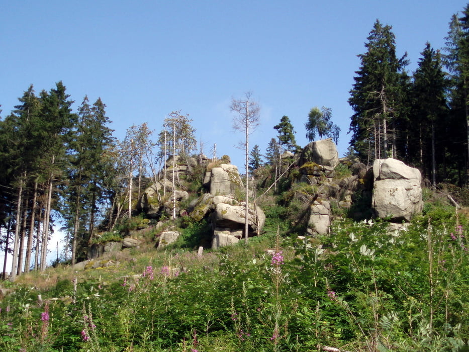
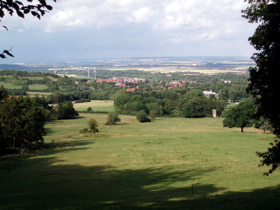
Die Tour beginnt im Bad Harzburger Ortsteil Bündheim, am Anfang der Waldstr. Parkmöglichkeit ist hier vorhanden. Im Bleichetal geht es aufwärts und wenn die Hütte am Schlackenplatz erreicht ist ist die größte Steigung bewältigt. Auf dem Oberen Bleicheweg geht es am Bleicheborn vorbei bis wir am Steigerbleek (Sternplatz) auf den Kötenweg treffen. Auf ihm geht es bis kurz vor die Klippen auf die Kästestr. Nachdem wir Den Alten vom Berge begrüßt haben, machen wir uns auf dem Steinebrecherweg am Jägerborn vorbei bergab auf den Heimweg. Auf einem kleinen Pfad im Hessental gelangen wir auf die Goldbergstr. und anschließend auf den Gatterweg. Im Gläseckental geht es noch einmal bergauf um auf dem Bad Harzburger Rundweg unseren Ausgangspunkt zu erreichen.
Further information at
http://de.wikipedia.org/wiki/K%C3%A4steklippenTour gallery
Tour map and elevation profile
Minimum height 290 m
Maximum height 630 m
More about the tour author

|
harzhelmut |
Comments

Bad Harzburg, Ortsteil Bündheim über die Strassen Am Schlosspark, Silberbornstr., Im Bleichetal zur Waldstr., dort ist Parkmöglichkeit.
GPS tracks
Trackpoints-
GPX / Garmin Map Source (gpx) download
-
TCX / Garmin Training Center® (tcx) download
-
CRS / Garmin Training Center® (crs) download
-
Google Earth (kml) download
-
G7ToWin (g7t) download
-
TTQV (trk) download
-
Overlay (ovl) download
-
Fugawi (txt) download
-
Kompass (DAV) Track (tk) download
-
Track data sheet (pdf) download
-
Original file of the author (gpx) download
More about the tour author
|
|
harzhelmut |
Add to my favorites
Remove from my favorites
Edit tags
Open track
My score
Rate