
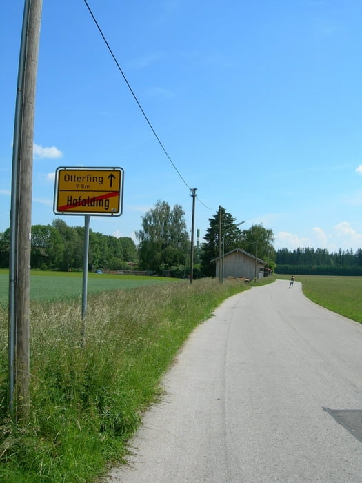

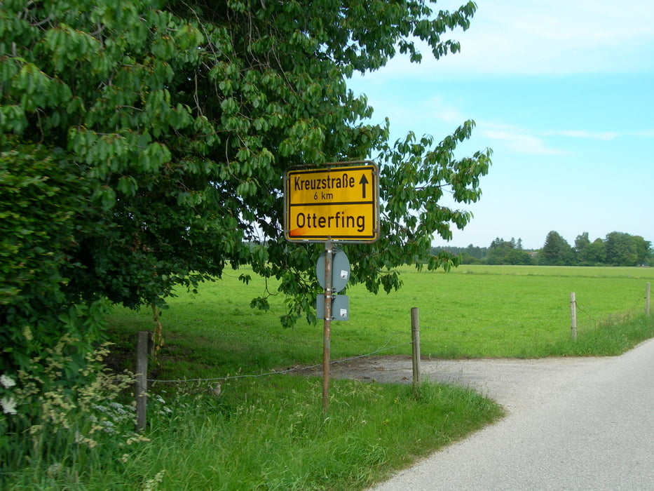
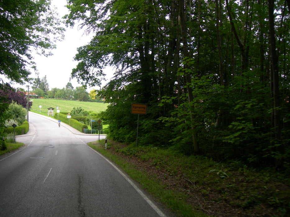
Dürnhaar-Hofolding-Otterfing-Kreuzstrasse-Aying-Egmating-Dürnhaar.
Anfang/Ende der Strecke ist bei der S-Bahn Stationen Dürnhaar, Otterfing oder Aying. Die Strecke verläuft durch überwiegend wenig befahrene Strassen. Zwischen Aying und Egmating der Verkehr ist etwas intensiver, also, vorsichtig fahren. Dieser Abschnitt ist nicht für Anfänger. Belag im Durchschnitt ist gut, aber in Paar Löcher im Asphalt gibt es schon. Sehr schöne Biergärten in Kreuzstrasse und in Aying. Steile Abfahrt in Egmating. Der letzte Abschnitt (Egmating-Dürnhaar) ist eine echte Belohnung – schön, breit, gerade und mit sehr gutem Asphalt.
Tour gallery

Tour map and elevation profile
Minimum height 594 m
Maximum height 680 m
More about the tour author
|
|
maklaj |
Comments

S-Bahn Station Dürnhaar.
GPS tracks
Trackpoints-
GPX / Garmin Map Source (gpx) download
-
TCX / Garmin Training Center® (tcx) download
-
CRS / Garmin Training Center® (crs) download
-
Google Earth (kml) download
-
G7ToWin (g7t) download
-
TTQV (trk) download
-
Overlay (ovl) download
-
Fugawi (txt) download
-
Kompass (DAV) Track (tk) download
-
Track data sheet (pdf) download
-
Original file of the author (gpx) download
More about the tour author
|
|
maklaj |
Add to my favorites
Remove from my favorites
Edit tags
Open track
My score
Rate