


start ist in aderzhausen
am anfang sind viele trails inklusive einer trailvariante
die ich vom local markus aus hohenburg erfahren habe
markieungsprobleme hatte ich um deining und kurz vor holnstein ,deshalb auch zwei kurze aber durchaus reizvolle abweichungen vom jurasteig
von mühlbach bis kurz vor deining nur wenige trails dann wirds wieder interessanter.
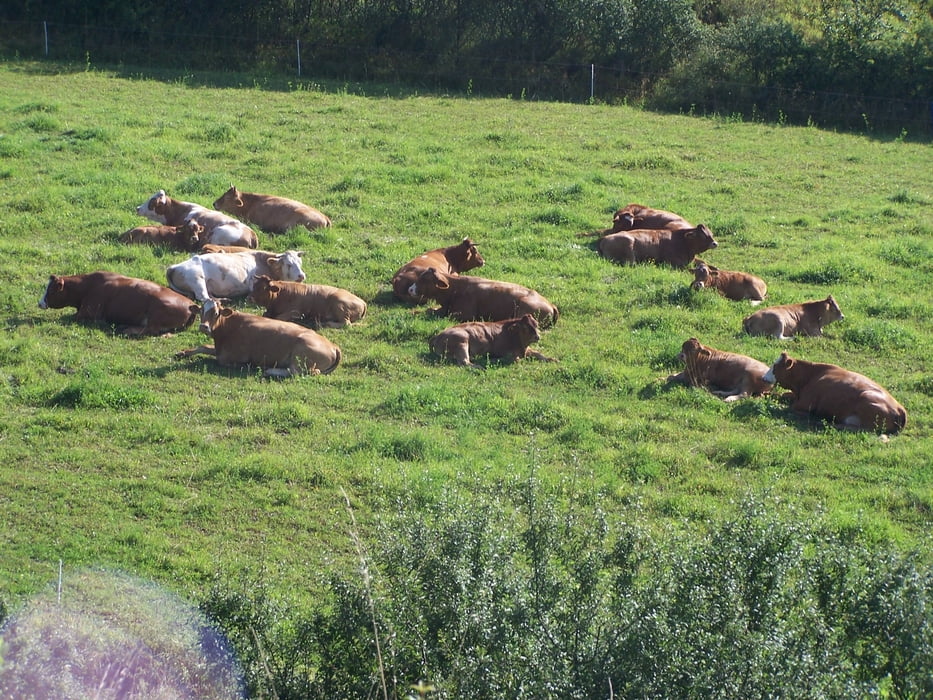
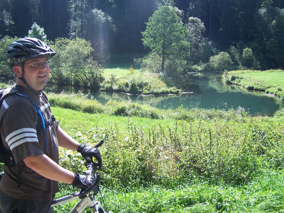
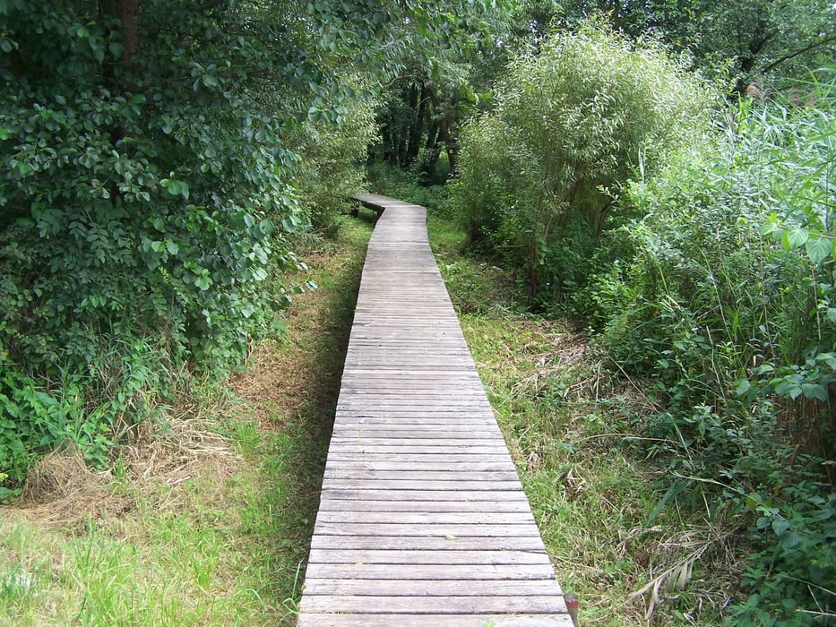
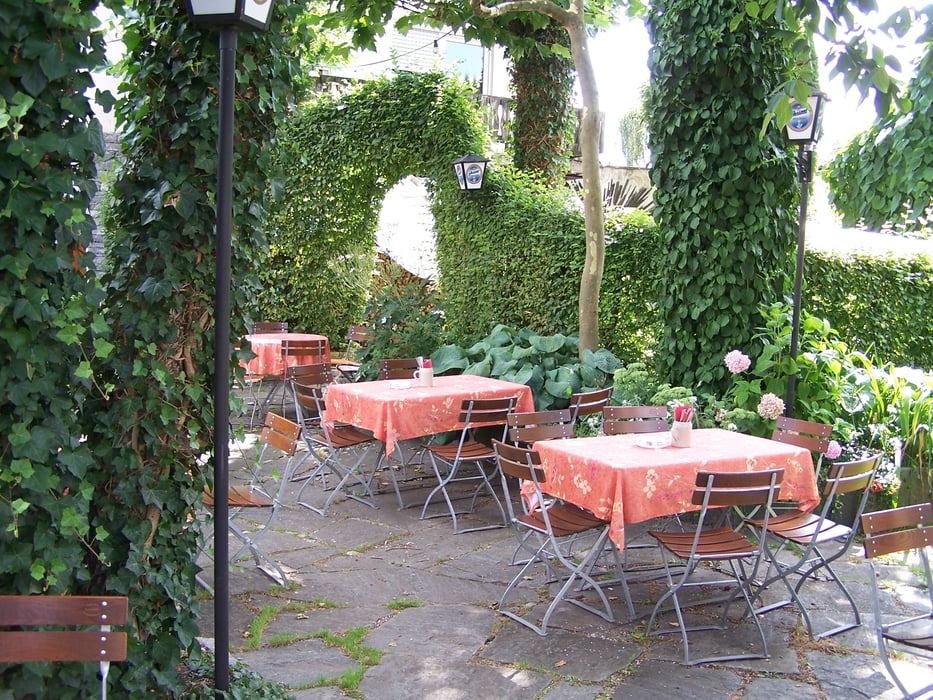
Tour gallery
Tour map and elevation profile
Minimum height 312 m
Maximum height 620 m
More about the tour author
|
|
tomasi |
Comments

von regensburg über kallmünz schmidmühlen richtung kastl bis aderzhausen
von parsbergbis schmidmühlen undweiter wie oben
GPS tracks
Trackpoints-
GPX / Garmin Map Source (gpx) download
-
TCX / Garmin Training Center® (tcx) download
-
CRS / Garmin Training Center® (crs) download
-
Google Earth (kml) download
-
G7ToWin (g7t) download
-
TTQV (trk) download
-
Overlay (ovl) download
-
Fugawi (txt) download
-
Kompass (DAV) Track (tk) download
-
Track data sheet (pdf) download
-
Original file of the author (gpx) download
More about the tour author
|
|
tomasi |
Add to my favorites
Remove from my favorites
Edit tags
Open track
My score
Rate