Login

Forgotten password?

Cookies have to be accepted!
Your browser's cookie functionality is disabled. Please enable this functionality.

Not a member yet?

Register now
Login

Available for registred users only

Log in to use this feature.

Forgotten password?

Cookies have to be accepted!
Your browser's cookie functionality is disabled. Please enable this functionality.

Not a member yet?

Register now
Filter
Categories
Advanced filters
  • Distance (km)
  • Height
Save filters Reset filter

TrackRank

QRCode

Technical data

Distance7,2 km Height102 m Way down158 m Duration01:30 h:m Date16.08.2009
Scores Author Landscape Fun factor Fitness Technique

Statistics

3392 Views Scores 129 Downloads Average
Rate
  • Track data sheet
  • Directions
  • Downloads

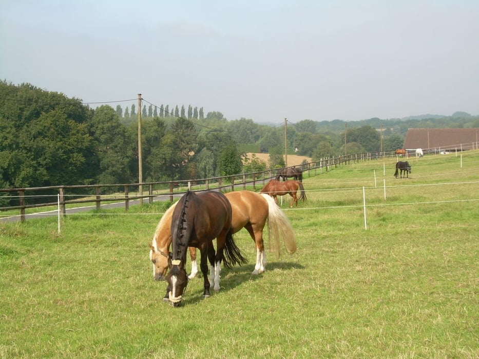
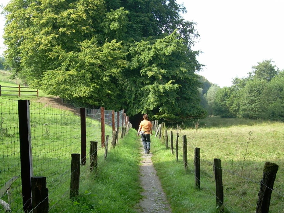
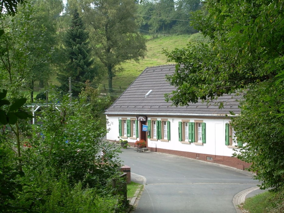
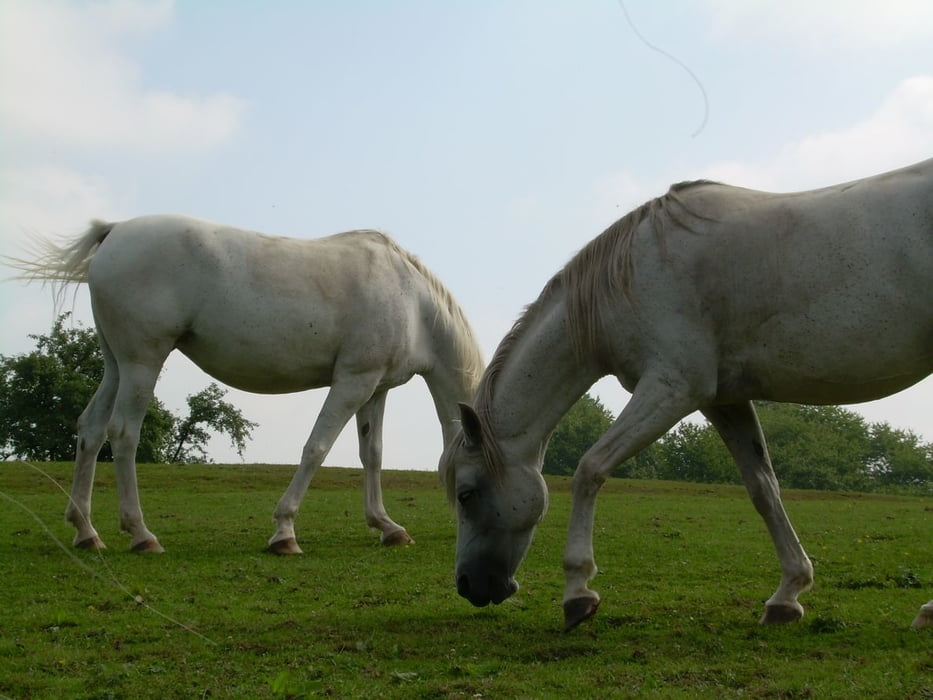
Kleine Runde durch's landschaftlich schöne Stindertal bei Mettmann.

Die Runde ist sehr abwechslungsreich, dicht bewachsene Bachlandschaft, Felder, Weiden. 

Further information at

http://www.wandern-in-wuppertal.de

Tour gallery

Tour map and elevation profile

  • Open Street Map
  • Google
Minimum height 82 m Maximum height 212 m Detailed view

More about the tour author

Uerigefan
Member since 2009

Send private message

Comments

Zum Parkplatz Nösenberg, Nähe McDonalds - etwas außerhalb von Mettmann.

GPS tracks

Trackpoints
  • GPX / Garmin Map Source (gpx) download
  • TCX / Garmin Training Center® (tcx) download
  • CRS / Garmin Training Center® (crs) download
  • Google Earth (kml) download
  • G7ToWin (g7t) download
  • TTQV (trk) download
  • Overlay (ovl) download
  • Fugawi (txt) download
  • Kompass (DAV) Track (tk) download
  • Track data sheet (pdf) download
  • Original file of the author (gpx) download

More about the tour author

Uerigefan
Member since 2009

Send private message
Share track
Add to my favorites
Remove from my favorites
Edit tags
My score
Rate
Track: Durch's Stindertal bei Mettmann
Type: Hiking
Distance: 7,2 km
Evaluated on:
Duration:
Day(s)
Hour(s)
Minute(s)
Score: Landscape Fun factor Fitness Technique