


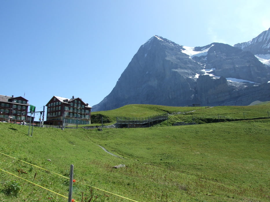
Zuerst geht es mit der Seilbahn von Wengen in Richtung Männlichen.
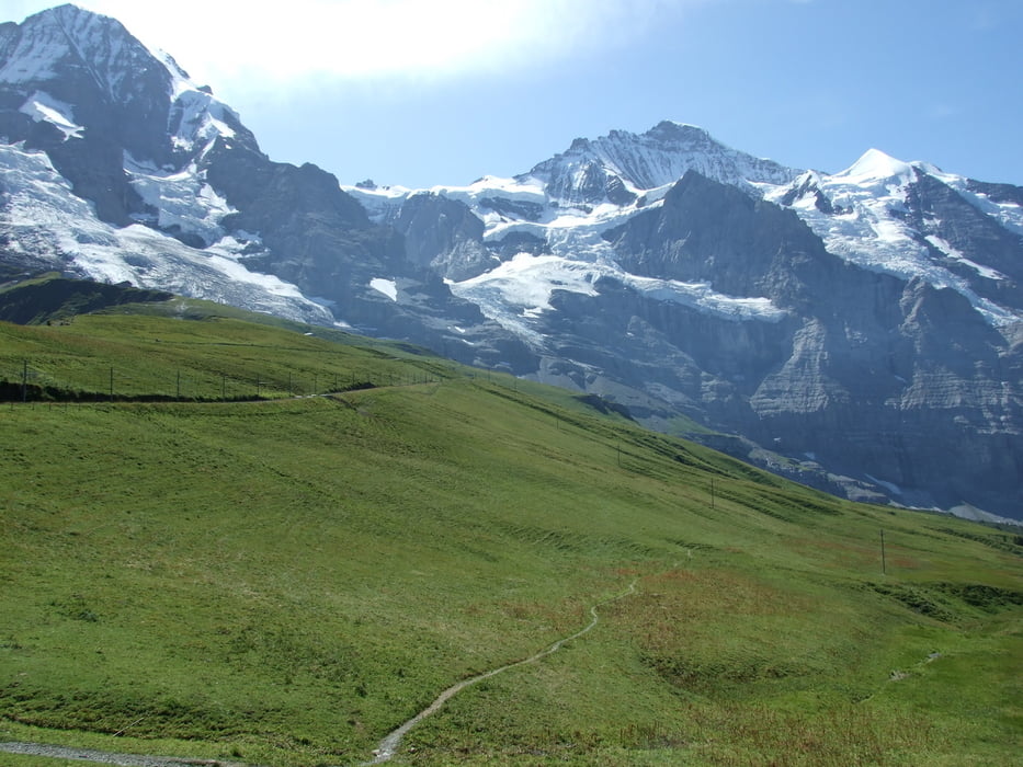
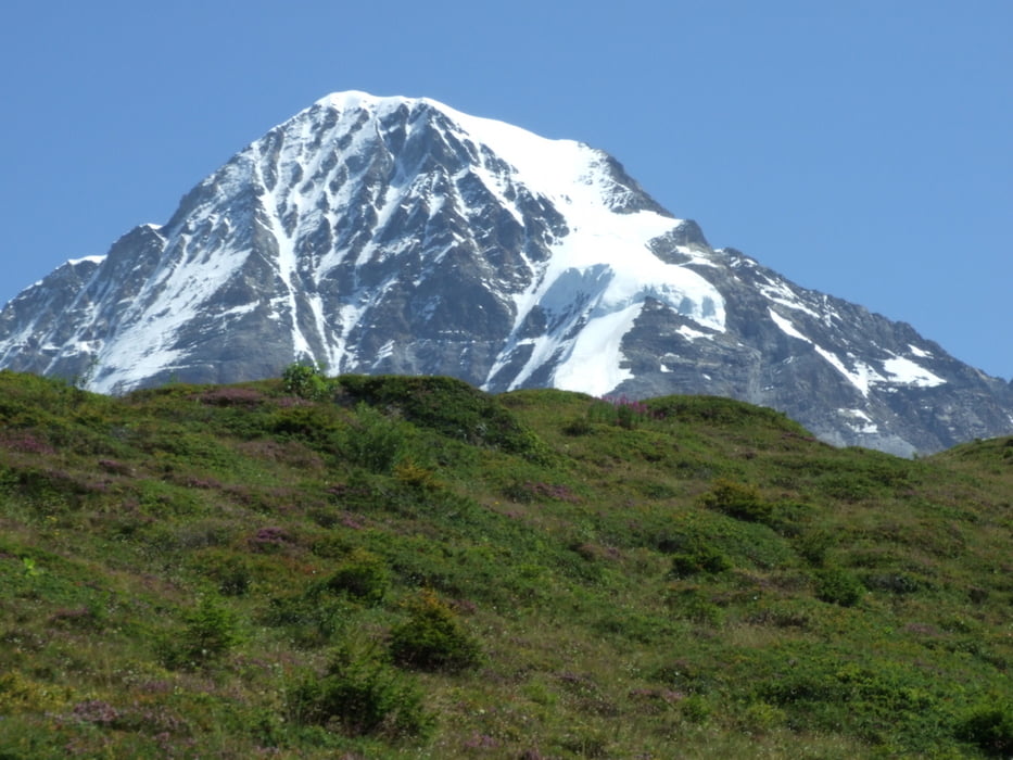
Landschaftlich sehr schöne Tour, die am Anfang der Strecke etwas unter dem Massentourismus leidet.
Verpflegung gibt es mehrmals. Vorteilhaft ist die Möglichkeit an mehreren Stellen in die Bahn umzusteigen. Deswegen durchaus etwas für Anfänger.
Further information at
http://www.maennlichen.ch/Tour gallery

Tour map and elevation profile
Minimum height 1238 m
Maximum height 2229 m
More about the tour author

|
Comments

Auf nach Wengen!
GPS tracks
Trackpoints-
GPX / Garmin Map Source (gpx) download
-
TCX / Garmin Training Center® (tcx) download
-
CRS / Garmin Training Center® (crs) download
-
Google Earth (kml) download
-
G7ToWin (g7t) download
-
TTQV (trk) download
-
Overlay (ovl) download
-
Fugawi (txt) download
-
Kompass (DAV) Track (tk) download
-
Track data sheet (pdf) download
-
Original file of the author (gpx) download
More about the tour author
|
|
Add to my favorites
Remove from my favorites
Edit tags
Open track
My score
Rate