

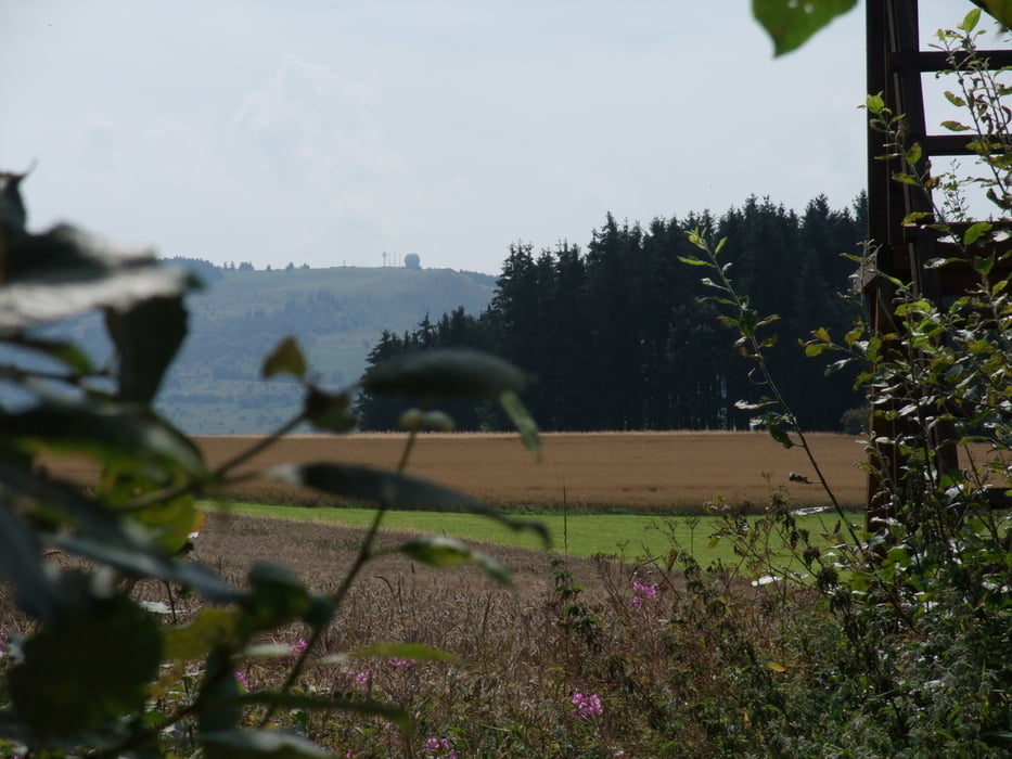
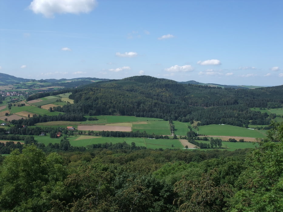
Ein Tagesausflug mit sehr gutem Blick, da die Tour wenig durch Wälder geht.
Wir sind von Eckweisbach gestartet und entlang der stillgelegten und als Radweg ausgebauten Bahnstecke nach Hilders gelaufen. Die alten Bahnhöfe sind privatisiert und sehenswerte Anwesen geworden. In Hilders kann man bei warmem Wetter in das Freibad und bei nicht allzu warmem Wetter in das Hallenbad abtauschen. Nun geht es in gebührenden und angenehmen Abstand entlang der Bundesstrass bis nach Batten. Hier ist die letzte Möglichkeit noch einmal einzukehren und sich zu stärken, das es von hieraus bis zum Ziel Eckweisbach durch Natur pur geht. Ab hier sind auf jeden Fall Wanderschuhe angebracht, da es Naturwege sind.
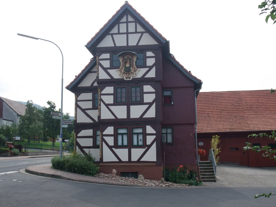
Tour gallery


Tour map and elevation profile
Minimum height 363 m
Maximum height 684 m
More about the tour author

|
gerald009 |
Comments

A7 abfahrt Fulda oder A71 Abfahrt Mellrichstadt
GPS tracks
Trackpoints-
GPX / Garmin Map Source (gpx) download
-
TCX / Garmin Training Center® (tcx) download
-
CRS / Garmin Training Center® (crs) download
-
Google Earth (kml) download
-
G7ToWin (g7t) download
-
TTQV (trk) download
-
Overlay (ovl) download
-
Fugawi (txt) download
-
Kompass (DAV) Track (tk) download
-
Track data sheet (pdf) download
-
Original file of the author (gpx) download
More about the tour author
|
|
gerald009 |
Add to my favorites
Remove from my favorites
Edit tags
Open track
My score
Rate