


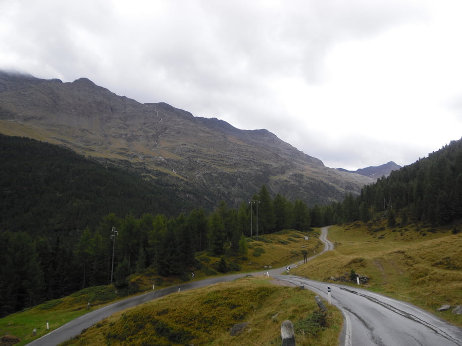
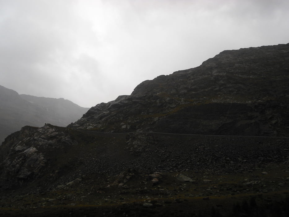
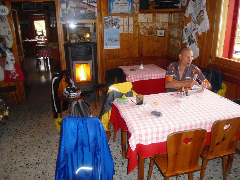
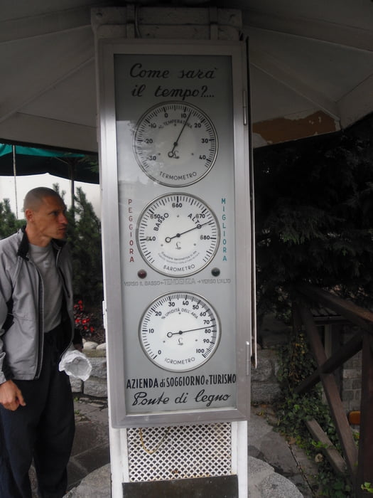
Heute hatte der Wetterbericht recht und es gab fast den ganzen Tag regen, aber da wir nicht rumsitzen wollten sind wir wenigstens den Gaviapass gefahren. Also rein in die Regensachen und rauf auf den Berg, mit ein paar Unterstellpausen haben wir es dann in die Stube des Gasthauses geschafft und wurden von einem warmen Ofen empfangen. Lange lange aufwärmen und dann ging es ab nach Ponte di Legno, denn weiter wollten wir nicht und der Wetterbericht sagte für morgen Sonnenschein vorraus. Also war abwarten und Stadtbummel angesagt.
Tour gallery
Tour map and elevation profile
Minimum height 1181 m
Maximum height 2629 m
More about the tour author
|
|
titanbiker |
Comments

GPS tracks
Trackpoints-
GPX / Garmin Map Source (gpx) download
-
TCX / Garmin Training Center® (tcx) download
-
CRS / Garmin Training Center® (crs) download
-
Google Earth (kml) download
-
G7ToWin (g7t) download
-
TTQV (trk) download
-
Overlay (ovl) download
-
Fugawi (txt) download
-
Kompass (DAV) Track (tk) download
-
Track data sheet (pdf) download
-
Original file of the author (gpx) download
More about the tour author
|
|
titanbiker |
Add to my favorites
Remove from my favorites
Edit tags
Open track
My score
Rate