


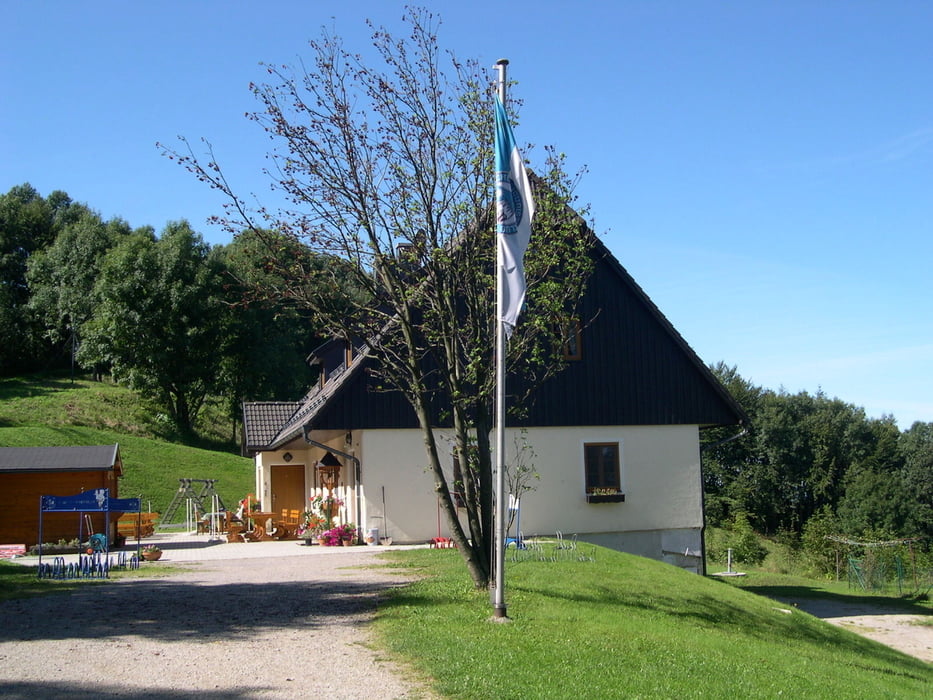
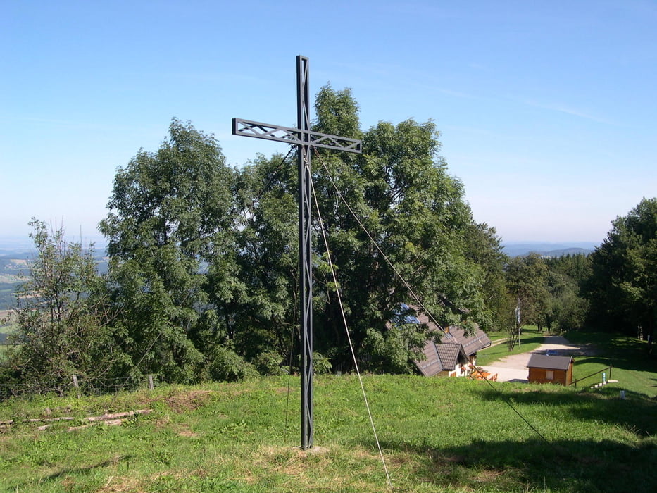
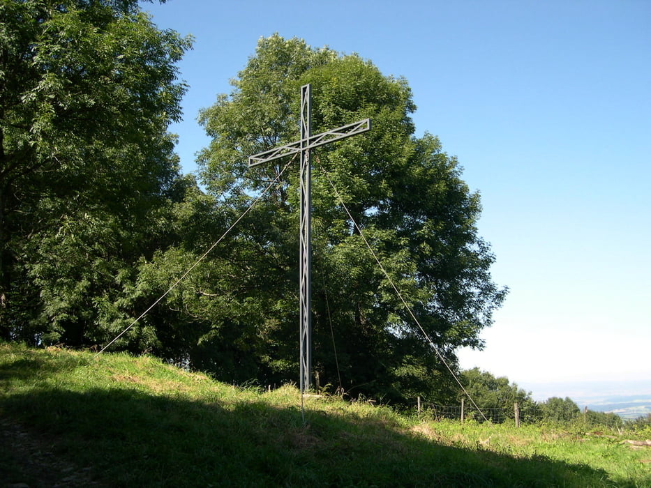
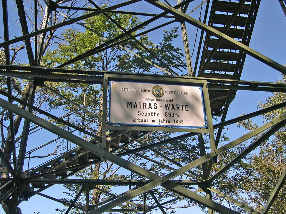
Startpunkt Parkplatz Rastbank auf der Strasse vor St.Corona.Auf Forststrasse (beschildert und nicht verfehlbar) bis zur Kreuzung mit blauer Markierung.Dort rechts bergauf bis zur Kreuzung mit 2.Forststrasse.Variante:Bei Interesse rechts Forststrasse bergauf bis zum Figl Observatorium.Eindrücke nur von Außen weil Zutritt verboten!Dort wieder den Berg herunter bis zur ursprünglichen Kreuzung und weiter bis zum Schöpflschutzhaus.Stärkung (außer am Montag, da geschlossen) und weiter bis zum Gipfelkreuz und zur Matraswarte(bei guten Wetter herrlicher Rundblick).Bischen eine Mutprobe da die Warte eine alte Stahlkonstruktion ist ,die mit relativ alten Holzbrettern bestückt ist.Zurück gleich wie Aufstieg!
Tour gallery
Tour map and elevation profile
Minimum height 552 m
Maximum height 936 m
More about the tour author
|
|
LeoCheops |
Comments

GPS tracks
Trackpoints-
GPX / Garmin Map Source (gpx) download
-
TCX / Garmin Training Center® (tcx) download
-
CRS / Garmin Training Center® (crs) download
-
Google Earth (kml) download
-
G7ToWin (g7t) download
-
TTQV (trk) download
-
Overlay (ovl) download
-
Fugawi (txt) download
-
Kompass (DAV) Track (tk) download
-
Track data sheet (pdf) download
-
Original file of the author (gpx) download
More about the tour author
|
|
LeoCheops |
Add to my favorites
Remove from my favorites
Edit tags
Open track
My score
Rate