


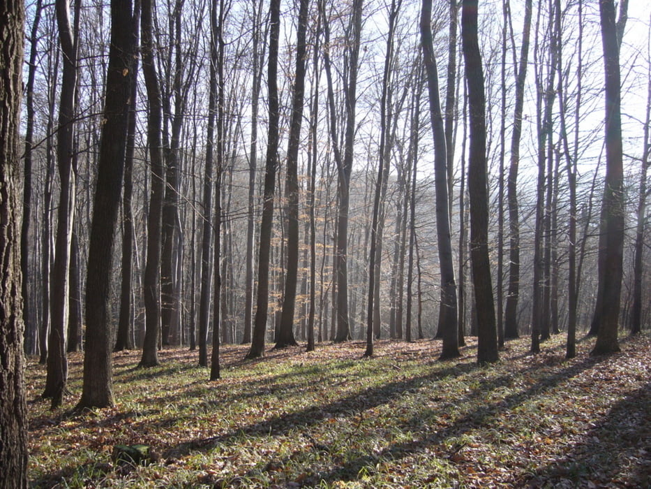
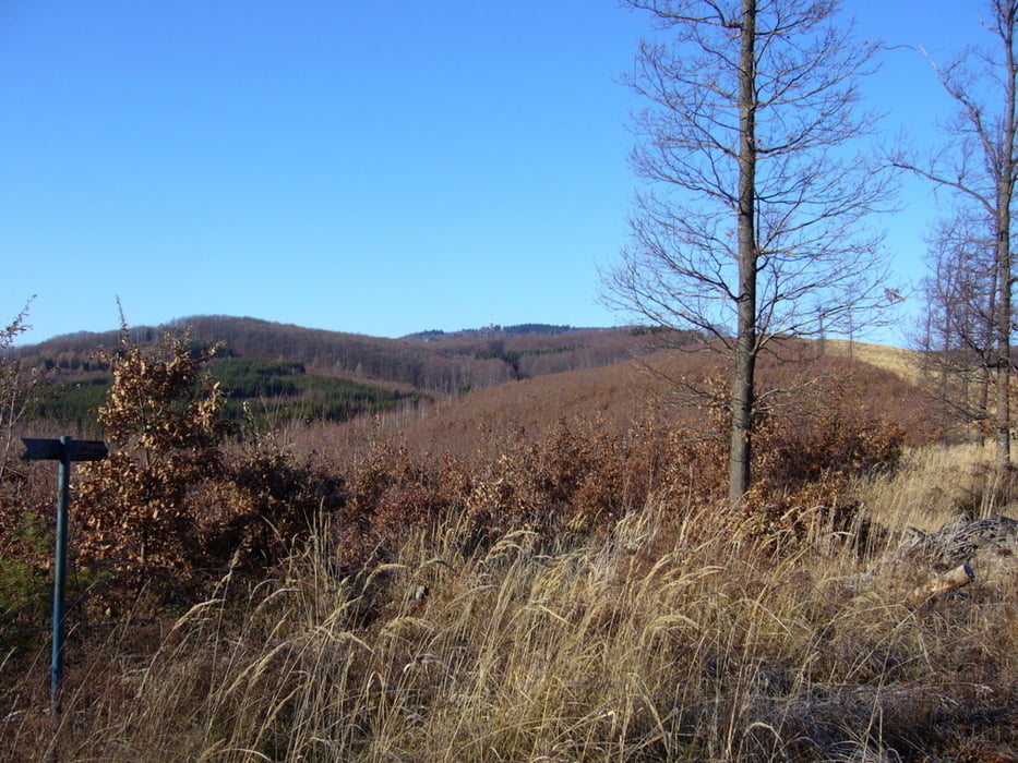
Hosszabb körtúra a Mátra két fő tömbje között.
A kiinduló ponttól lefelé indul az út. Miután elértünk túránk legalacsonyabb pontját, kezdődhet az emelkedés Galyatetőig. Galyatető után újból ereszkedés és néhány kilátópont következik. A Mátra-nyerget elhegyva indul az emelkedő a Kékes tetejére. Innen a sípálya mentén jutunk vissza Mátraházára.
Further information at
http://picasaweb.google.com/endre.fekete/GalyatetKKestet?feat=directlinkTour gallery


Tour map and elevation profile
Minimum height 515 m
Maximum height 1020 m
More about the tour author
|
|
andrew85 |
Comments

Mind autóval, mind busszal Mátraházáig kell menni. Az autósok itt fizető parkolót találnak.
GPS tracks
Trackpoints-
GPX / Garmin Map Source (gpx) download
-
TCX / Garmin Training Center® (tcx) download
-
CRS / Garmin Training Center® (crs) download
-
Google Earth (kml) download
-
G7ToWin (g7t) download
-
TTQV (trk) download
-
Overlay (ovl) download
-
Fugawi (txt) download
-
Kompass (DAV) Track (tk) download
-
Track data sheet (pdf) download
-
Original file of the author (gpx) download
More about the tour author
|
|
andrew85 |
Add to my favorites
Remove from my favorites
Edit tags
Open track
My score
Rate