Login

Forgotten password?

Cookies have to be accepted!
Your browser's cookie functionality is disabled. Please enable this functionality.

Not a member yet?

Register now
Login

Available for registred users only

Log in to use this feature.

Forgotten password?

Cookies have to be accepted!
Your browser's cookie functionality is disabled. Please enable this functionality.

Not a member yet?

Register now
Filter
Categories
Advanced filters
  • Distance (km)
  • Height
Save filters Reset filter

TrackRank

QRCode

Technical data

Distance32,1 km Height203 m Way down192 m Duration01:30 h:m Date05.09.2009
Scores Author Landscape Fun factor Fitness Technique

Statistics

940 Views Scores 74 Downloads Average
Rate
  • Track data sheet
  • Directions
  • Downloads

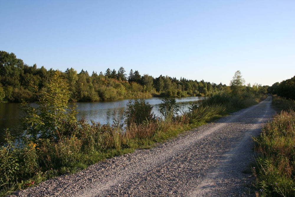
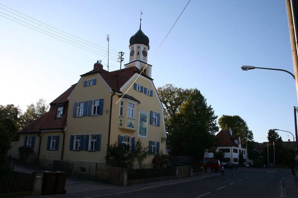
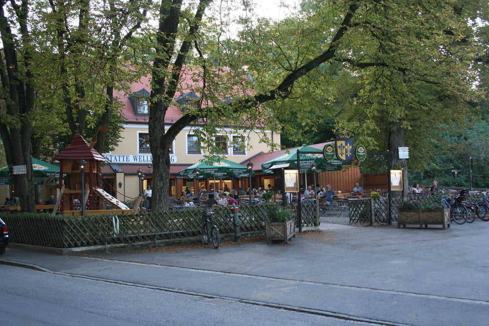
Eine schöne abwechslungsreiche Feierabendroute. Ungefähr drei Viertel Strecke geht es über asphaltierte Wege, der Rest sind befestigte Kies/Waldwege, nur ein Stück von ca. 50 Metern ist je nach Wetter etwas schlammig.


Tour gallery

Tour map and elevation profile

  • Open Street Map
  • Google
Minimum height 476 m Maximum height 530 m Detailed view

More about the tour author

s-braeutigam
Member since 2009

Send private message

Comments

GPS tracks

Trackpoints
  • GPX / Garmin Map Source (gpx) download
  • TCX / Garmin Training Center® (tcx) download
  • CRS / Garmin Training Center® (crs) download
  • Google Earth (kml) download
  • G7ToWin (g7t) download
  • TTQV (trk) download
  • Overlay (ovl) download
  • Fugawi (txt) download
  • Kompass (DAV) Track (tk) download
  • Track data sheet (pdf) download
  • Original file of the author (gpx) download

More about the tour author

s-braeutigam
Member since 2009

Send private message
Share track
Add to my favorites
Remove from my favorites
Edit tags
My score
Rate
Track: Augsburg-Hochfeld - Inningen - Wertach - Wellenburg
Type: Bicycle tours
Distance: 32,1 km
Evaluated on:
Duration:
Day(s)
Hour(s)
Minute(s)
Score: Landscape Fun factor Fitness Technique