


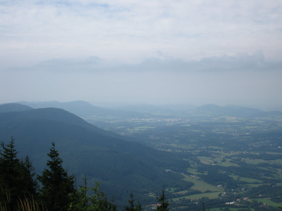
Die Wanderung beginnt an der Bushaltestelle inder Nähe der Staummauer der Ostravice(34U313491E5483897). Mit wechselnder Oberflächenqualität führt er teilweise recht steil und verschiedentlich mit fehlender (nach Forstarbeiten) Markierung zum Gipfel. Einmalige Aussichten vom Sattel unterm Gipfel und vom Gipfel. Rucksackverpflegung nicht vergessen.
Der Rückweg führt zur Bushaltestelle (oder wer mag zum Bahnhof) in Ostravice (311430E5490410N) und ist stellenweise nicht ganz ohne.
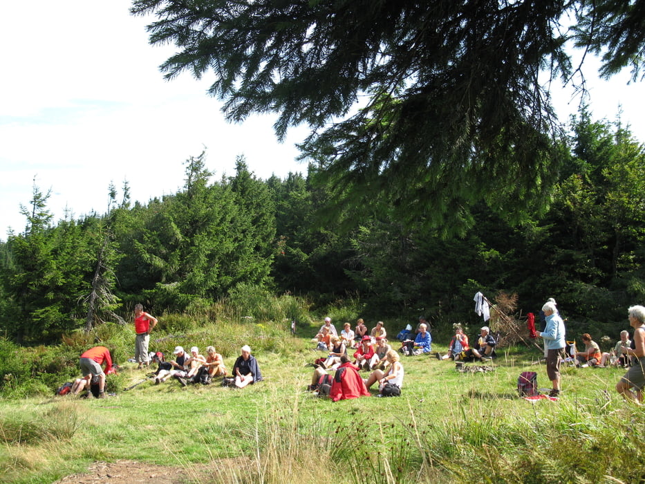
Tour gallery
Tour map and elevation profile
Minimum height 417 m
Maximum height 1278 m
More about the tour author
|
|
DieAlten |
Comments

siehe bei Javornik
GPS tracks
Trackpoints-
GPX / Garmin Map Source (gpx) download
-
TCX / Garmin Training Center® (tcx) download
-
CRS / Garmin Training Center® (crs) download
-
Google Earth (kml) download
-
G7ToWin (g7t) download
-
TTQV (trk) download
-
Overlay (ovl) download
-
Fugawi (txt) download
-
Kompass (DAV) Track (tk) download
-
Track data sheet (pdf) download
-
Original file of the author (gpx) download
More about the tour author
|
|
DieAlten |
Add to my favorites
Remove from my favorites
Edit tags
Open track
My score
Rate