
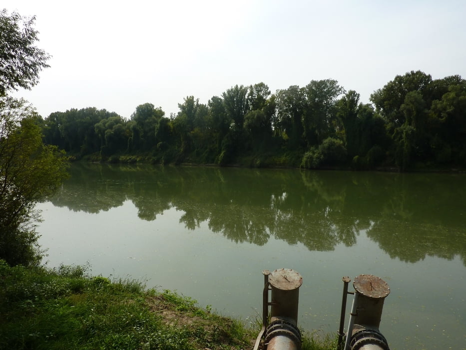

Szegedről Hódmezővásárhelyre vonattal is át lehet vinni a kerékpárokat. A túra a hódmezővásárhelyi Népkert vasúti megállótól indul Mártélyra. A falu és a környék tanyavilágának bebarangolása után kellemes felüdülést jelent a Mártélyi holtág. Itt csónakázni, fürödni is lehet, a gyerekesek pedig a közeli kalandparkot is felfedezhetik.
A hazaút a Tisza töltésén vezet az Algyői hídig, onnantól a forgalmas főutat érdemes elkerülni.
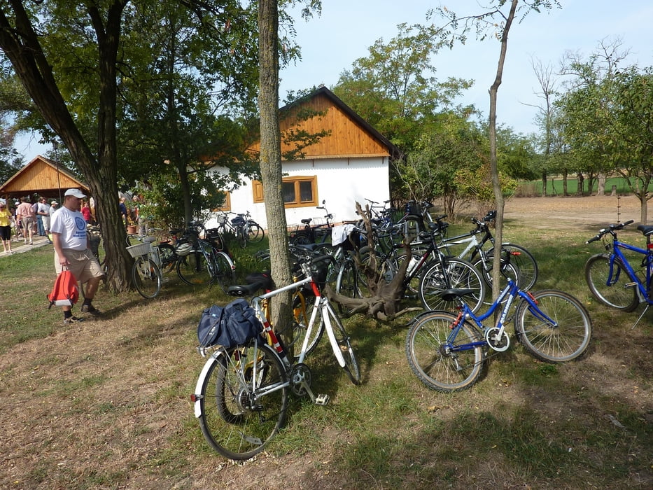
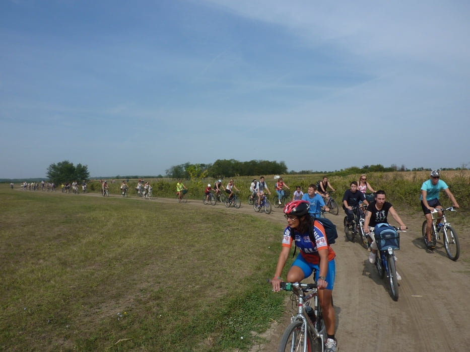
Tour gallery

Tour map and elevation profile
Minimum height 14 m
Maximum height 108 m
More about the tour author
|
|
Hullamter |
Comments

GPS tracks
Trackpoints-
GPX / Garmin Map Source (gpx) download
-
TCX / Garmin Training Center® (tcx) download
-
CRS / Garmin Training Center® (crs) download
-
Google Earth (kml) download
-
G7ToWin (g7t) download
-
TTQV (trk) download
-
Overlay (ovl) download
-
Fugawi (txt) download
-
Kompass (DAV) Track (tk) download
-
Track data sheet (pdf) download
-
Original file of the author (gpx) download
More about the tour author
|
|
Hullamter |
Add to my favorites
Remove from my favorites
Edit tags
Open track
My score
Rate