


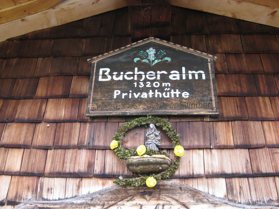
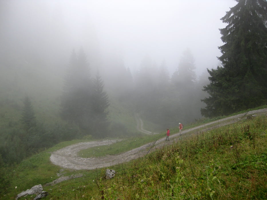
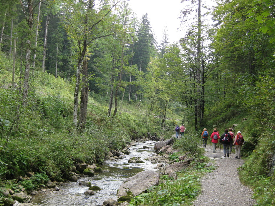
Unsere Bergwanderung beginnt am Parkplatz an der B307 in 850 m Höhe. Wir wandern bei mäßiger Steigung immer am Schwarzenbach entlang. Das Rauschen des Baches begleitet uns bis auf etwa 1050 m Höhe. Hier beginnt der etwas steilere Aufstieg zur Bucher Alm, wo wir eine gute selbst hergestellte Buttermilch bekommen.
Zurück wandern wir auf dem gleichen Weg.Tour gallery
Tour map and elevation profile
Minimum height 843 m
Maximum height 1298 m
More about the tour author

|
frank_guenther |
Comments

Startpunkt der Tour ist ein Parkplatz an der Bundesstraße B307, etwa 2,5 km hinter Wildbad Kreuth, direkt am Schwarzenbach: N47,623758316, E11,712605953
GPS tracks
Trackpoints-
GPX / Garmin Map Source (gpx) download
-
TCX / Garmin Training Center® (tcx) download
-
CRS / Garmin Training Center® (crs) download
-
Google Earth (kml) download
-
G7ToWin (g7t) download
-
TTQV (trk) download
-
Overlay (ovl) download
-
Fugawi (txt) download
-
Kompass (DAV) Track (tk) download
-
Track data sheet (pdf) download
-
Original file of the author (gpx) download
More about the tour author
|
|
frank_guenther |
Add to my favorites
Remove from my favorites
Edit tags
Open track
My score
Rate