Login

Forgot your login?

Cookies have to be accepted!
Your browser's cookie functionality is disabled. Please enable this functionality.

Not a member yet?

Register now
Login

Available for registred users only

Log in to use this feature.

Forgot your login?

Cookies have to be accepted!
Your browser's cookie functionality is disabled. Please enable this functionality.

Not a member yet?

Register now
Filter
Categories
Advanced filters
  • Distance (km)
  • Height
Save filters Reset filter

TrackRank

QRCode

Technical data

Distance12,9 km Height1169 m Way down248 m Duration04:15 h:m Date15.09.2009
Scores Author Landscape Fun factor Fitness Technique

Statistics

635 Views 2 Scores 52 Downloads 4.00 Average
Rate
  • Track data sheet
  • Directions
  • Downloads
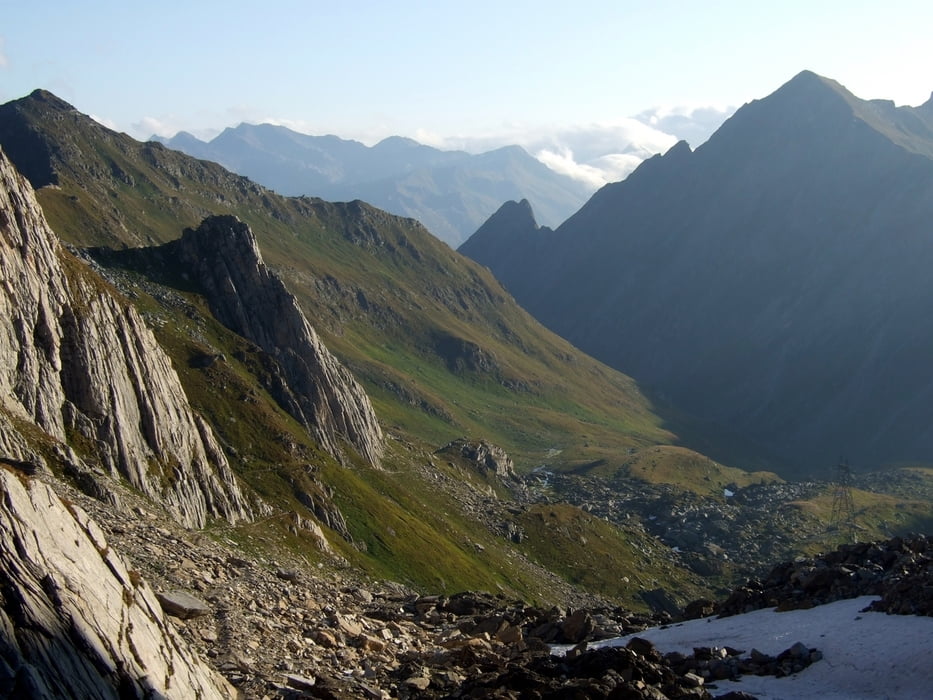
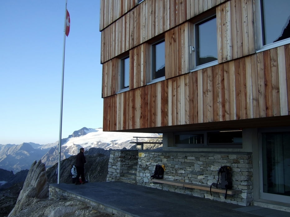
von All' Acqua (1.610m) zur Brücke über den Bach Ticino und dann den Weg zur Alpe di Valleggia (1.751m). Weiter zur Alpe di Cristallina (1.800m). Aufstieg nach Süden durch das Val Torta zum Passo di Cristallina (2.568m). Übernachtung in der Capanna Cristallina direkt am Pass. Hinweis: Die Tour wurde vom user Thomas_ ausgearbeitet und geführt.

Tour gallery

Tour map and elevation profile

  • Open Street Map
  • Google
Minimum height 1575 m Maximum height 2580 m Detailed view

More about the tour author

rawajo
Member since 2009

Send private message

Comments

Die Ortschaft All' Acqua liegt an der Straße zum Nufenenpass im Bedrettotal.

GPS tracks

Trackpoints
  • GPX / Garmin Map Source (gpx) download
  • TCX / Garmin Training Center® (tcx) download
  • CRS / Garmin Training Center® (crs) download
  • Google Earth (kml) download
  • G7ToWin (g7t) download
  • TTQV (trk) download
  • Overlay (ovl) download
  • Fugawi (txt) download
  • Kompass (DAV) Track (tk) download
  • Track data sheet (pdf) download
  • Original file of the author (gpx) download

More about the tour author

rawajo
Member since 2009

Send private message
Share track
Add to my favorites
Remove from my favorites
Edit tags
My score
Rate
Track: alpine Rundwanderung im Tessin (1.Etappe)
Type: Mountain hiking
Distance: 12,9 km
Evaluated on:
Duration:
Day(s)
Hour(s)
Minute(s)
Score: Landscape Fun factor Fitness Technique