


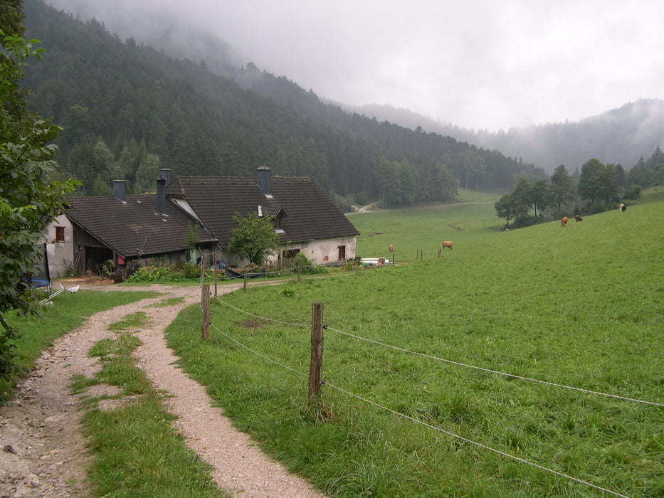
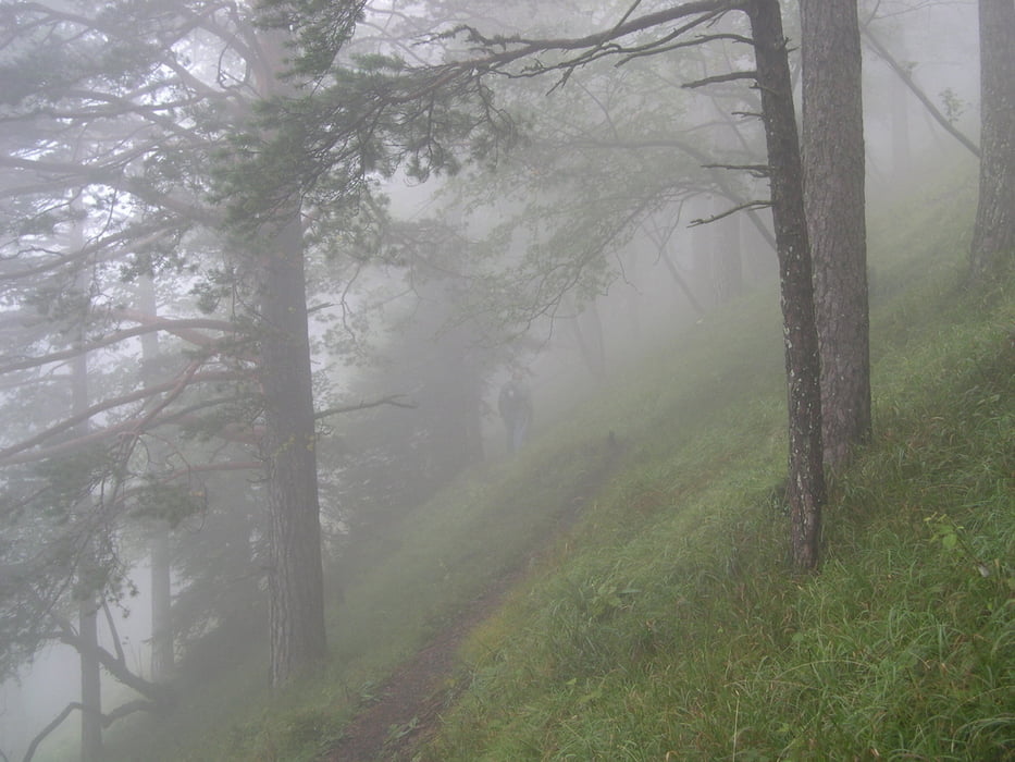
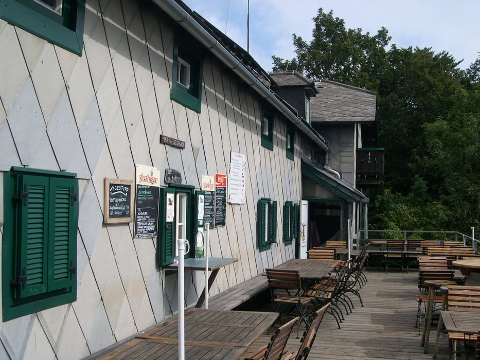
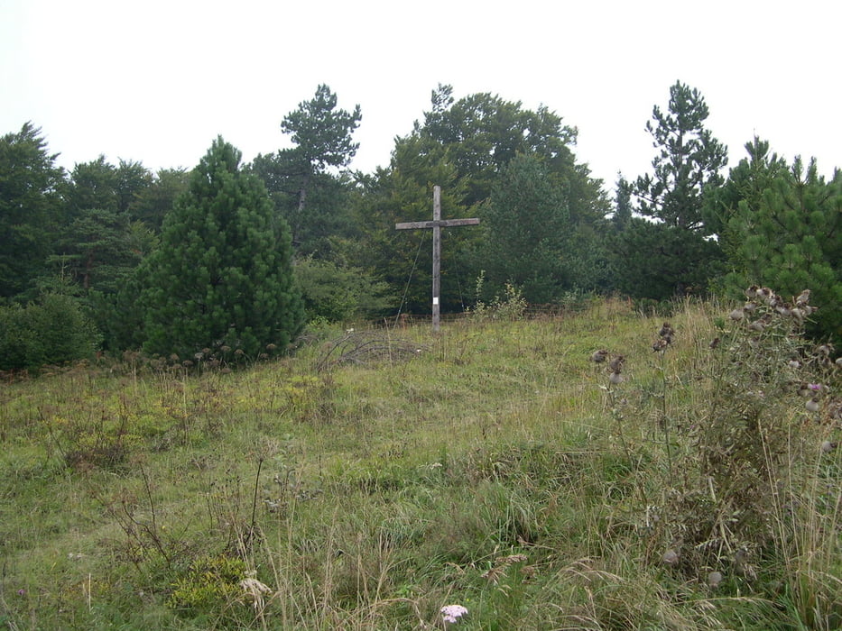
Parkmöglichkeit im Weidengraben(rechts, dort wo der Viehgraben links einmündet.)Auf gelber Markierung bis Atz ,links am Bildstock vorbei und dann beginnt ,weiter gelb markiert,der Mareschsteig.Zuerst steiler bergan und dann weiter bis zum Kreuzungspunkt mit roter Markierung.Dort weiter rot und ordentlich bergauf bis zur Enzianhütte.(Bekommt zur Zeit neue Wasserversorgung und Abwasserentsorgung-wird auch vorbei gehen und die Natur wird sich wieder beruhigen).Nach Stärkung zum Gipfelkreuz und weiter hinunter zum Kirchwaldsattel.Links ab ,blaue Markierung durch den Viehgraben und weiter bis zum Parkplatz im Weidengraben.
Tour gallery
Tour map and elevation profile
Minimum height 564 m
Maximum height 1124 m
More about the tour author
|
|
LeoCheops |
Comments

GPS tracks
Trackpoints-
GPX / Garmin Map Source (gpx) download
-
TCX / Garmin Training Center® (tcx) download
-
CRS / Garmin Training Center® (crs) download
-
Google Earth (kml) download
-
G7ToWin (g7t) download
-
TTQV (trk) download
-
Overlay (ovl) download
-
Fugawi (txt) download
-
Kompass (DAV) Track (tk) download
-
Track data sheet (pdf) download
-
Original file of the author (gpx) download
More about the tour author
|
|
LeoCheops |
Add to my favorites
Remove from my favorites
Edit tags
Open track
My score
Rate