


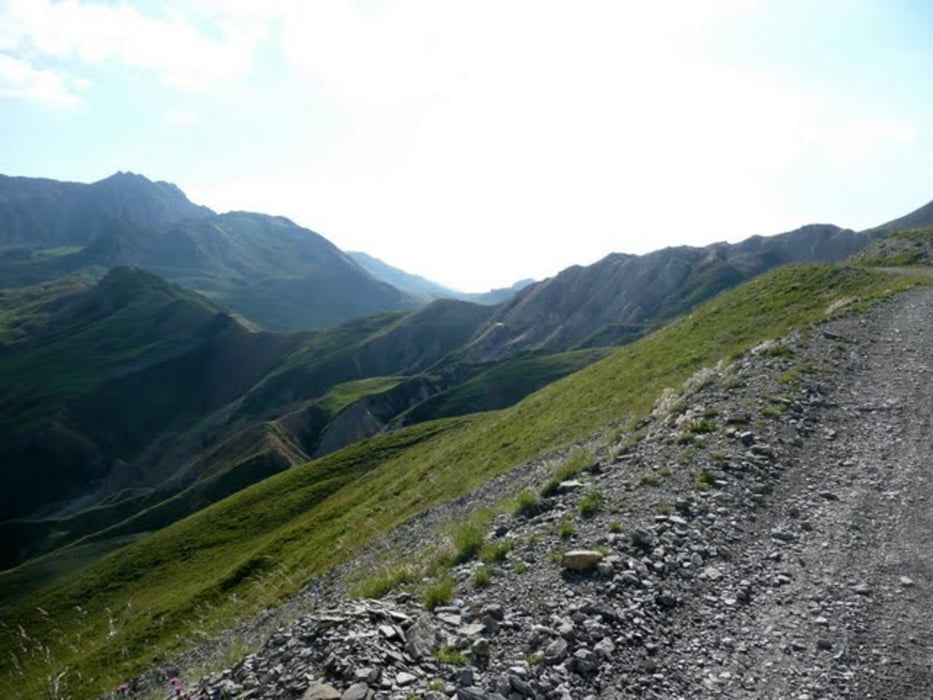
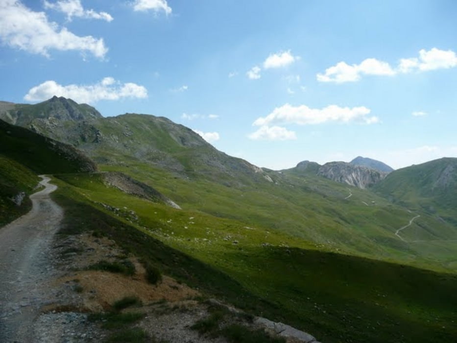
Der Colle del Preit 2083m stellt den NW-Einstieg in die Maira-Stura-Kammstraße (MSKS) dar. Von der Pensio Ceaglio geht es 1km bergab und dann biegt in das Tal zum Colle del Preit links nach Canosio 1225m ab. Danach geht es ständig auf sehr schmaler Teerstraße mit sehr steilen Rampen 10km bergauf bis zum Paß. Danach fahre ich auf grober Schotterpiste zum Rifugio Gardetta auf 2335m wo ich eine kurze Pause mache. Danach ca.1km zurück in die Einmündung zur MSKS. Es folgen die Päße der Reihe nach:
- Colle Cologna 2394m
- Colle Margherina 2420m
- Colle Bandia 2408m
- Colle Valcavera 2421m
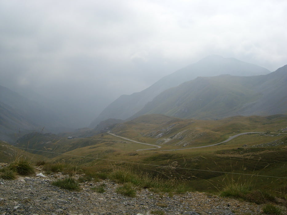
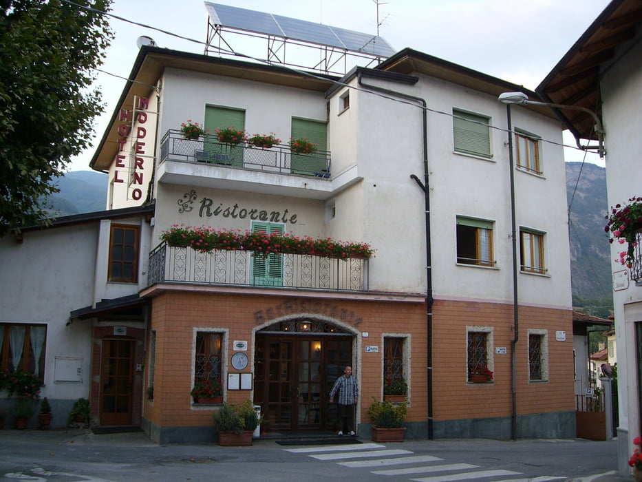
Danach endlos lange aber schöne Abfahrt nach Demonte 775m. Übernachtung mit guten Essen im Hotel Moderno. Durchschnittsgeschindigkeit ~13.5km/h
Further information at
http://alpenrouten.de/Maira-Stura-Kammstrasse_track63.htmlTour gallery
Tour map and elevation profile
Minimum height 795 m
Maximum height 2450 m
More about the tour author
|
|
Sport2008 |
Comments

siehe 1-Tag Westalpen - Fahrt nach Susa
GPS tracks
Trackpoints-
GPX / Garmin Map Source (gpx) download
-
TCX / Garmin Training Center® (tcx) download
-
CRS / Garmin Training Center® (crs) download
-
Google Earth (kml) download
-
G7ToWin (g7t) download
-
TTQV (trk) download
-
Overlay (ovl) download
-
Fugawi (txt) download
-
Kompass (DAV) Track (tk) download
-
Track data sheet (pdf) download
-
Original file of the author (gpx) download
More about the tour author
|
|
Sport2008 |
Add to my favorites
Remove from my favorites
Edit tags
Open track
My score
Rate