


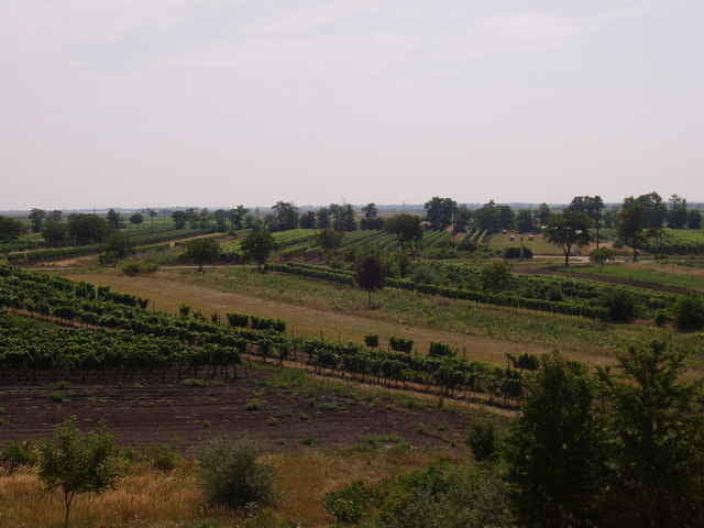
Die Tour verläuft ebenerdig ohne nennenswerte Anstiege, die Wege sind fast durchgehend asphaltiert. Dank der hervorragenden Beschilderung ist eigentlich kein GPS notwendig ;)
Je nach Kondition kann man entweder den gesamten See umfahren (Grenzübertritt nach Ungarn!) oder per Fähre abgekürzt werden (2,5 Euro mit Rad und Neusiedlersee Card). Unterwegs sind ausreichend Einkehrmöglichkeiten, sehr Radfahrerfreundliche Gegend.
Die Fährstationen verlaufen zwischen Mörisch-Illmitz und Podersdorf-Breitenbrunn. Gegen Vorweis einer Gästekarte kann die Neusiedlersee Card in jeder Touristen Info oder Gemeindeämter kostenlos gelöst werden.
Further information at
http://www.neusiedlersee.com/Tour gallery
Tour map and elevation profile
Minimum height 97 m
Maximum height 254 m
More about the tour author
|
|
gerhardg |
Comments

Die Tour kann von jeder an den See grenzenden Ortschaft begonnen werden (B10 Neusiedlersee Runde).
GPS tracks
Trackpoints-
GPX / Garmin Map Source (gpx) download
-
TCX / Garmin Training Center® (tcx) download
-
CRS / Garmin Training Center® (crs) download
-
Google Earth (kml) download
-
G7ToWin (g7t) download
-
TTQV (trk) download
-
Overlay (ovl) download
-
Fugawi (txt) download
-
Kompass (DAV) Track (tk) download
-
Track data sheet (pdf) download
-
Original file of the author (gpx) download
More about the tour author
|
|
gerhardg |
Add to my favorites
Remove from my favorites
Edit tags
Open track
My score
Rate