


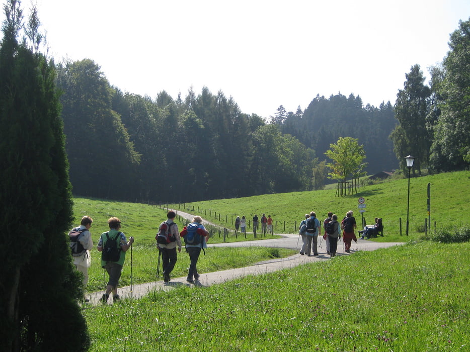
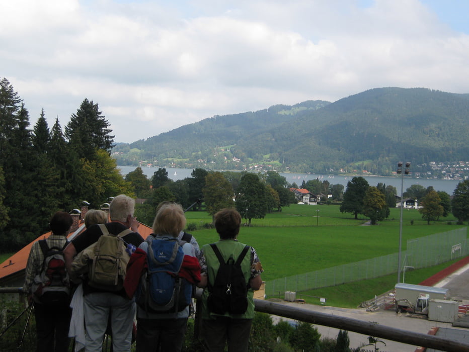
Vom Parkplatz in Bad Wiessee gehen wir das Breitenbachtal hinauf und biegen nach etwa 200 Metern nach links ab in Richtung Freihaus. Am Freihaus Brenner wandern wir wieder in den Wald hinein und kommen zum Sonnenbichl. Dort hat man eine herrlichen Blick auf den Tegernsee und die dahinter liegenden Berge. Im Gasthof "Zum Sonnenbichl" gibt es eine gute Brotzeit.
Zurück gelangen wir auf dem gleichen Weg.Tour gallery


Tour map and elevation profile
Minimum height 781 m
Maximum height 928 m
More about the tour author

|
frank_guenther |
Comments

Startpunkt der Wanderung ist in Bad Wiessee ein Parkplatz am Ende der Breitenbachtalstraße: N47,719551086 E11,706432343
GPS tracks
Trackpoints-
GPX / Garmin Map Source (gpx) download
-
TCX / Garmin Training Center® (tcx) download
-
CRS / Garmin Training Center® (crs) download
-
Google Earth (kml) download
-
G7ToWin (g7t) download
-
TTQV (trk) download
-
Overlay (ovl) download
-
Fugawi (txt) download
-
Kompass (DAV) Track (tk) download
-
Track data sheet (pdf) download
-
Original file of the author (gpx) download
More about the tour author
|
|
frank_guenther |
Add to my favorites
Remove from my favorites
Edit tags
Open track
My score
Rate