

Startpunkt ist der Parkplatz vor dem Schranken in der Mitte des Hongars
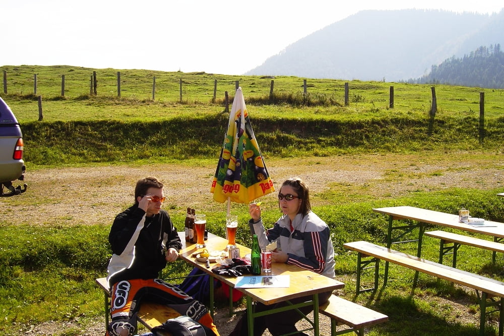
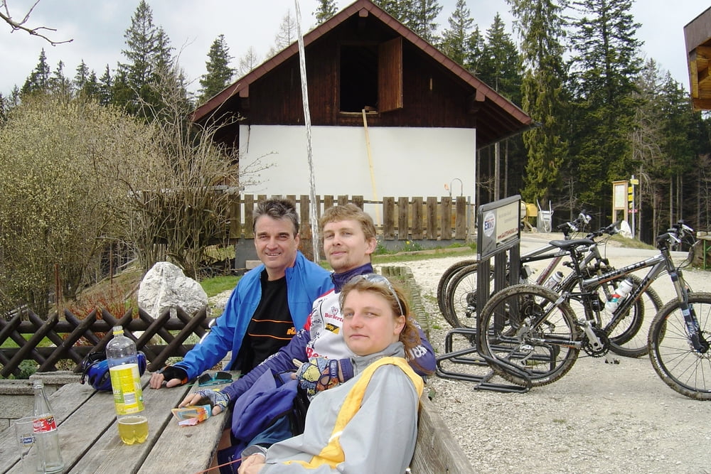
Hier gehts gleich hoch zum Gasthaus Schwarz, von dort rechts weg dem Wanderweg folgen in Richtung Gahberg Hier ist das letztere Stück eine echte Herausforderung ziemlich eng und sehr schwwer zu befahren. Bevor man auf die Asphaltstrasse kommt muß man gleich rechts weg bergab. Nun geht es einigermaßen gemütich zurück zum Ausganspunk . In der Mitte bietet sich das sogenannte BRÜNNERL an , noch einen Schluck zu nehmen. Es liegen Getränke in einer Tonne im Wald. Kostenpunkt für ein Getränk 1.- Euro. Zurück beim Ausgangspunkt bergab zum Gasthaus Wirt z Kasten auf eine gute und sicher veerdiente Jause und ein Bierchen.
Als Variante kann man auch vom Gasthaus unten Starten
Tour gallery
Tour map and elevation profile
Minimum height 718 m
Maximum height 985 m
More about the tour author
|
|
egon1 |
Comments

GPS tracks
Trackpoints-
GPX / Garmin Map Source (gpx) download
-
TCX / Garmin Training Center® (tcx) download
-
CRS / Garmin Training Center® (crs) download
-
Google Earth (kml) download
-
G7ToWin (g7t) download
-
TTQV (trk) download
-
Overlay (ovl) download
-
Fugawi (txt) download
-
Kompass (DAV) Track (tk) download
-
Track data sheet (pdf) download
-
Original file of the author (gpx) download
More about the tour author
|
|
egon1 |
Add to my favorites
Remove from my favorites
Edit tags
Open track
My score
Rate