


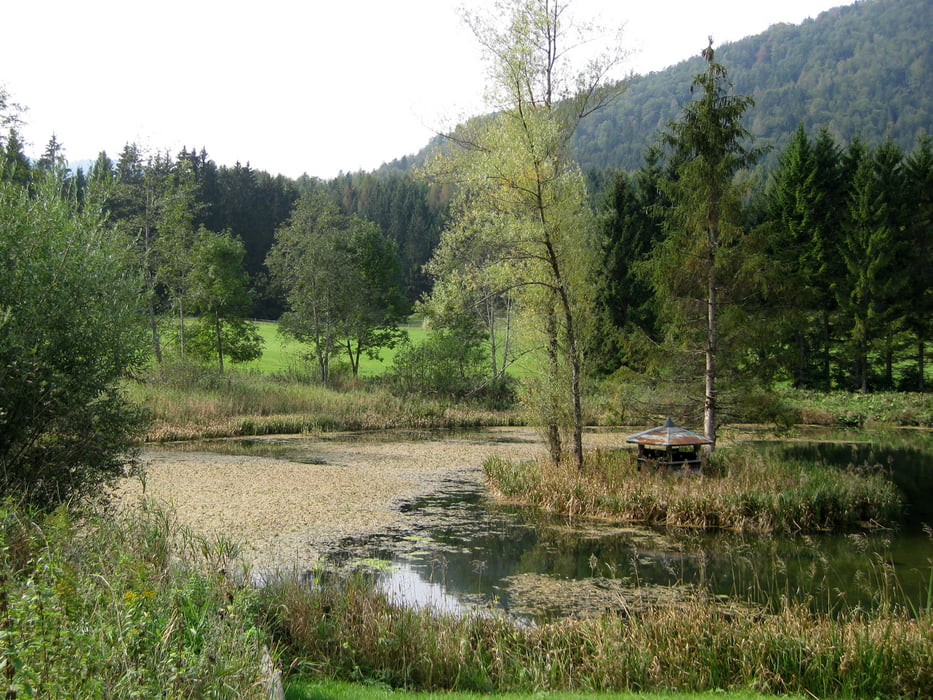
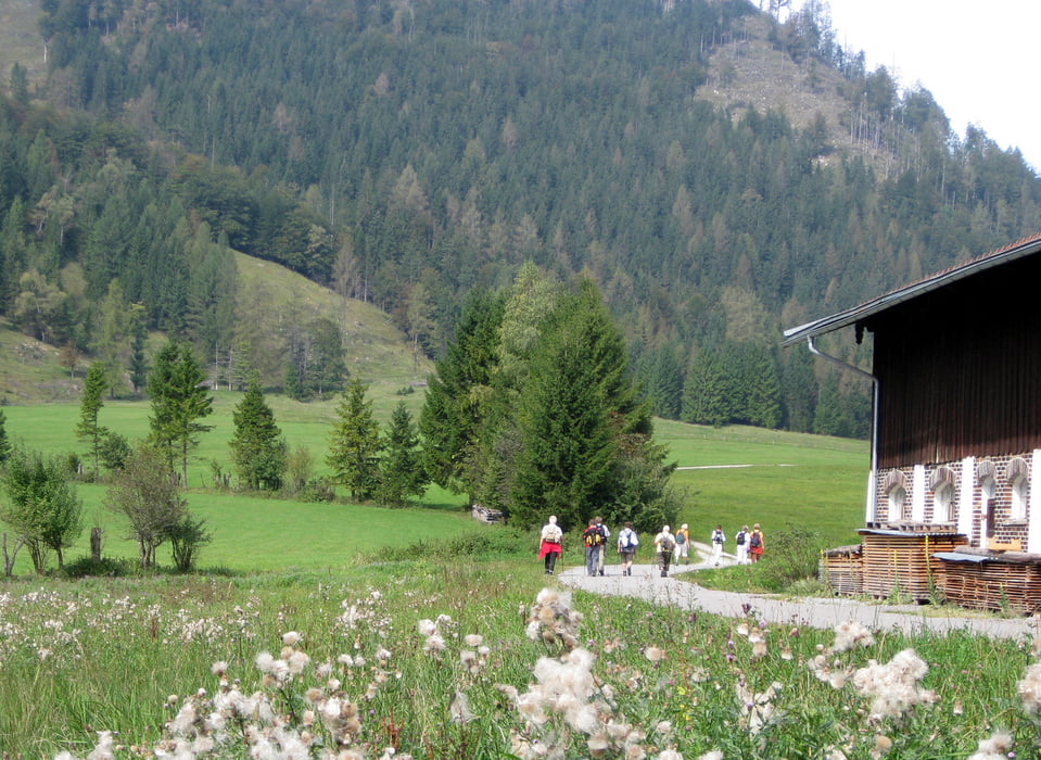
Vom Parkplatz in der Mühlauerstaße (620m Höhe) kommen wir auf einem gut ausgebauten Waldweg nach nur 3 km auf 800m Höhe nach Rechenau. Hier weitet sich das Tal: Rechts erhebt sich der Schwarzenberg und links die Brünnberge und der Brünnstein. Wir queren die Ortschaft Wildgrub und erreichen den Lahnenwald. Auf Forstwegen und schmalen Wanderpfaden umrunden wir den Schwarzenberg bis wir aufs Hocheck kommen. Von hier haben wir einen herrlichen Blick auf Oberaudorf bis zum Wilden Kaiser. Der Rückweg führt uns an der Bergstation des Sesselliftes Hocheck vorbei, den Mühlbacher Berg hinab in die Orte Ramsau und Wall. Von hier ist es nicht mehr weit bis zu unserem Startpunkt in Mühlau.
Tour gallery


Tour map and elevation profile
Minimum height 616 m
Maximum height 860 m
More about the tour author

|
frank_guenther |
Comments

Starpunkt der Wanderung ist in Oberaudorf, ein Parkplatz am Ende der Mühlauerstraße : N47,629852295 E12,145450115
GPS tracks
Trackpoints-
GPX / Garmin Map Source (gpx) download
-
TCX / Garmin Training Center® (tcx) download
-
CRS / Garmin Training Center® (crs) download
-
Google Earth (kml) download
-
G7ToWin (g7t) download
-
TTQV (trk) download
-
Overlay (ovl) download
-
Fugawi (txt) download
-
Kompass (DAV) Track (tk) download
-
Track data sheet (pdf) download
-
Original file of the author (gpx) download
More about the tour author
|
|
frank_guenther |
Add to my favorites
Remove from my favorites
Edit tags
Open track
My score
Rate