


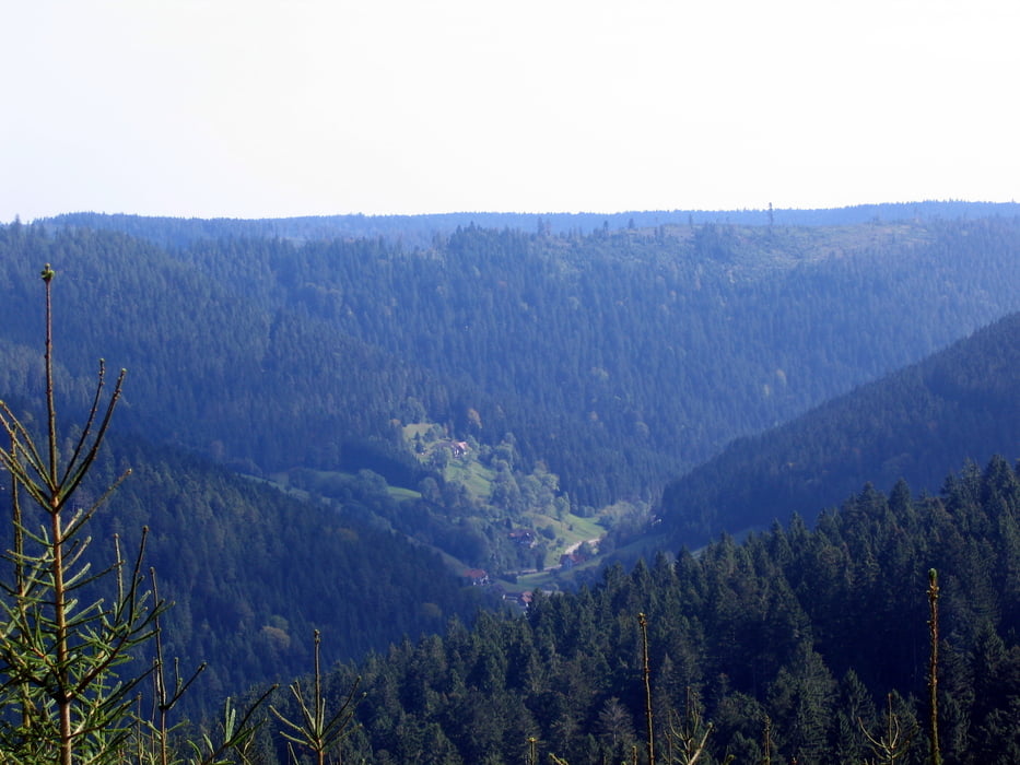
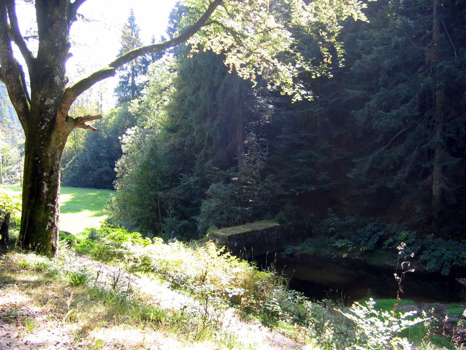
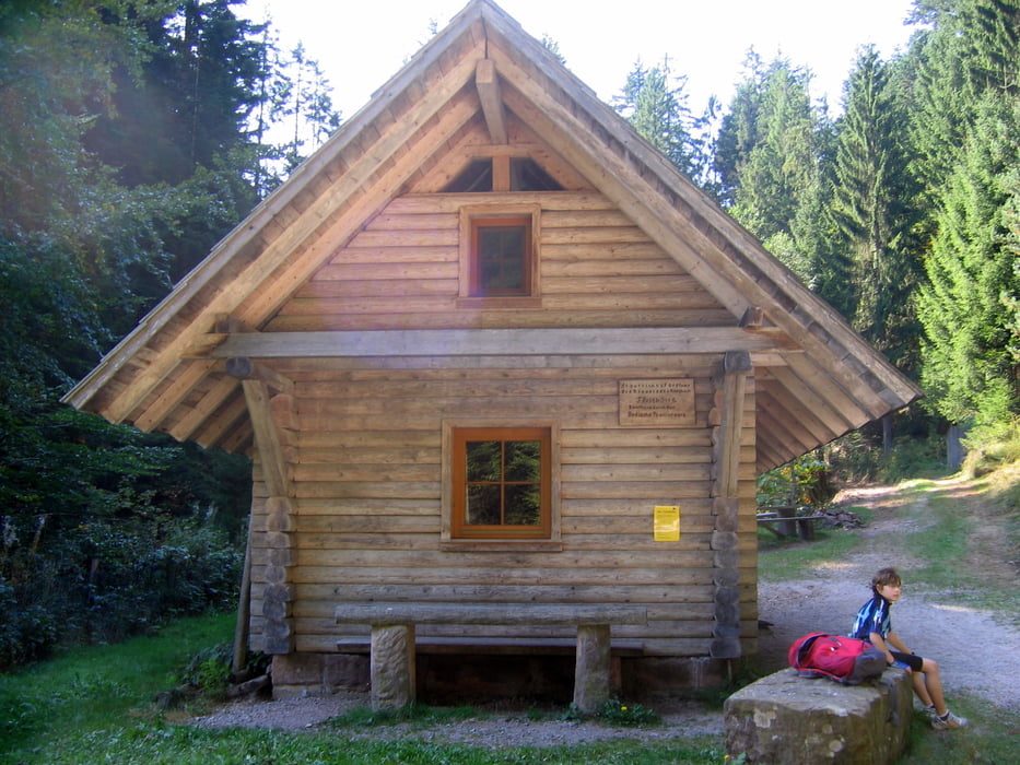
Die Wanderung beginnt am unteren Parkplatz der Alexanderschanze. Wir haben zusammen einen Weg parallel zum Westweg genommen und sind dann nach ca. einer Stunde wieder auf den Westweg (hier auch mit "Neuem Höhenweg" bezeichnet) gelangt. Unweit der Hildahütte geht es dann abwärts vorbei an der Niklashütte hinunter zum Holzwald. Je nach Lust und Laune kann man auch in den Ort Bad Rippoldsau wandern und eine kurze Rast machen. Wir sind dann allerdings wieder an der Wolf aufwärts bis zur Alexanderschanze zurückgewandert und haben uns danach eine Rast gegönnt.
Tour gallery

Tour map and elevation profile
Minimum height 637 m
Maximum height 970 m
More about the tour author
|
|
SiegfriedTheurer |
Comments

GPS tracks
Trackpoints-
GPX / Garmin Map Source (gpx) download
-
TCX / Garmin Training Center® (tcx) download
-
CRS / Garmin Training Center® (crs) download
-
Google Earth (kml) download
-
G7ToWin (g7t) download
-
TTQV (trk) download
-
Overlay (ovl) download
-
Fugawi (txt) download
-
Kompass (DAV) Track (tk) download
-
Track data sheet (pdf) download
-
Original file of the author (gpx) download
More about the tour author
|
|
SiegfriedTheurer |
Add to my favorites
Remove from my favorites
Edit tags
Open track
My score
Rate