


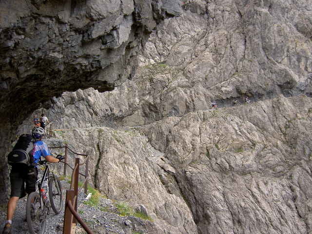
1. Tag Karwendelhaus 75km 2000HM
2. Tag Imsterberg 91km 1300HM
3. Tag Nauders 63km 2050HM
4. Tag Sesvennahütte 35km 1800HM
5. Tag Livigno 68km 1750HM
6. Tag St. Moritz/Muottas Muragl 56km 900HM
Nach Tacho 388km und 9800Hm
2. Tag Imsterberg 91km 1300HM
3. Tag Nauders 63km 2050HM
4. Tag Sesvennahütte 35km 1800HM
5. Tag Livigno 68km 1750HM
6. Tag St. Moritz/Muottas Muragl 56km 900HM
Nach Tacho 388km und 9800Hm
Further information at
http://www.dimb.deTour gallery
Tour map and elevation profile
Minimum height 688 m
Maximum height 2337 m
More about the tour author

|
winklem |
Comments

Weitere Infos unter:
guide4u@off-tracks.com
Florian Weishäupl
Startpunkt:
Bad Wiessee beim Wittelsbacher Hof in der Bodenschneidstraße 2
Anfahrt siehe: http://www.wittelsbachhotel.de/Hotel/Lage/lage.html
guide4u@off-tracks.com
Florian Weishäupl
Startpunkt:
Bad Wiessee beim Wittelsbacher Hof in der Bodenschneidstraße 2
Anfahrt siehe: http://www.wittelsbachhotel.de/Hotel/Lage/lage.html
GPS tracks
Trackpoints-
GPX / Garmin Map Source (gpx) download
-
TCX / Garmin Training Center® (tcx) download
-
CRS / Garmin Training Center® (crs) download
-
Google Earth (kml) download
-
G7ToWin (g7t) download
-
TTQV (trk) download
-
Overlay (ovl) download
-
Fugawi (txt) download
-
Kompass (DAV) Track (tk) download
-
Track data sheet (pdf) download
-
Original file of the author (g7t) download
More about the tour author
|
|
winklem |
Add to my favorites
Remove from my favorites
Edit tags
Open track
My score
Rate