


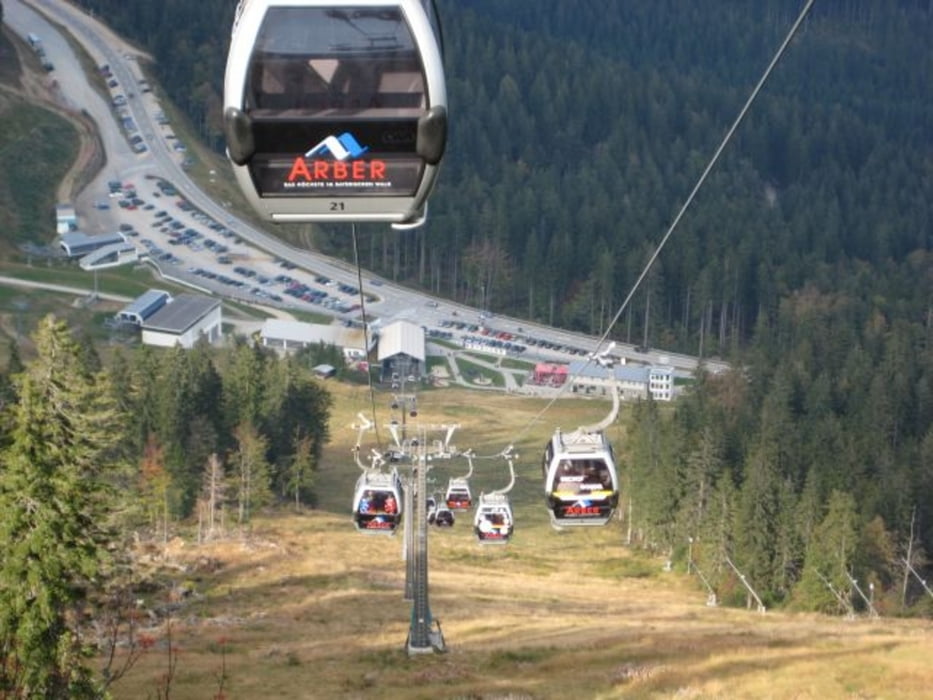
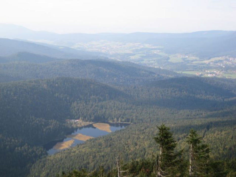
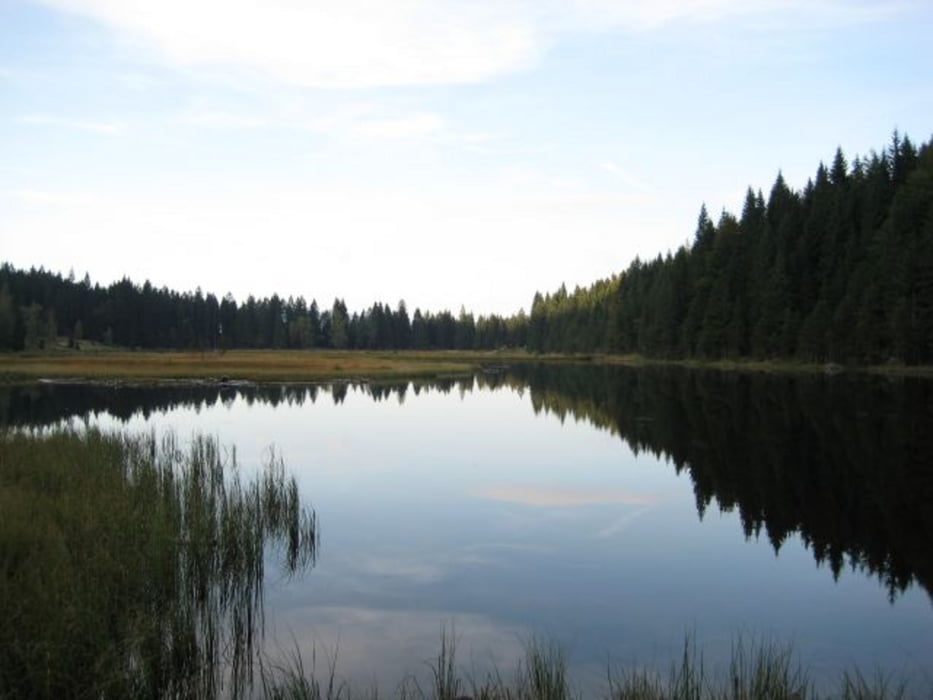
Die Tour verläuft auf geschotterten Wegen und Pfaden. Vom Parkplatz geht es recht steil den Skihang hinauf. Vom Gipfel des Arber hat man bei gutem Wetter eine sehr schöne Weitsicht. Vom Großen Arber geht es weiter zum kleinen Arber und dann hinunter zum kleinen Arbersee, den man einmal umrunden kann, hier gibt es auch die Möglichkeit zum Einkehren. Nun muss man noch einmal über einen Kamm und gelangt dann wieder zum Skihang und schließlich zum Parkplatz.
Further information at
http://de.wikipedia.org/wiki/Gro%C3%9Fer_ArberTour gallery
Tour map and elevation profile
Minimum height 881 m
Maximum height 1445 m
More about the tour author

|
grenz-pfad-fahrer |
Comments

Von Bayerisch Eisenstein in Richtung Brennes, hier links abbiegen. Nach kurzer Zeit kommt man zum Parkplatz an der Talstation der Arber-Bergbahn.
GPS tracks
Trackpoints-
GPX / Garmin Map Source (gpx) download
-
TCX / Garmin Training Center® (tcx) download
-
CRS / Garmin Training Center® (crs) download
-
Google Earth (kml) download
-
G7ToWin (g7t) download
-
TTQV (trk) download
-
Overlay (ovl) download
-
Fugawi (txt) download
-
Kompass (DAV) Track (tk) download
-
Track data sheet (pdf) download
-
Original file of the author (gpx) download
More about the tour author
|
|
grenz-pfad-fahrer |
Add to my favorites
Remove from my favorites
Edit tags
Open track
My score
Rate