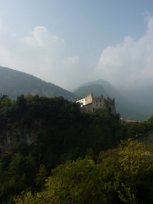
Rundtour um den Lago di Tenno (Start und Ende in Arco)
Die Tour beginnt in Chiarano einem Ortsteil von Arco. Am Ortsausgang geht es nach Varignano gleich sehr steil bergauf. Auf dem Weg zum Lago di Tenno geht es parallel zur Landstrasse auf Feld- und Schotterwegen entlang von Olivenhainen. Hier lohnt ein kurzer Abstecher ins mittelalterliche Canale.
Am Lago di Tenno muss man kurz vom Rad und die Treppen zum See runtertragen. Die Tour geht dann gegen den Uhrzeigersinn entlang des Sees. Die Strecke ist stellenweise wegen des steilen und unbefestigen Geländes schwer zu fahren, aber bei guter Kondition läßt es sich durchweg fahren. Scheitelpunkt ist das Dorf Ballino. Von hier geht es auf Asphalt sehr schnell zurück nach Tenno. Hier direkt am Ortseingang rechts nach Campi abbiegen. Hier geht es nochmal ca. 100 Höhenmeter nach oben, unter anderem durch einen Tunnel. Kurz vor Campi geht es dann links weg auf den Schotterweg nach Pinza (siehe Wegpunkt). Die Abfahrt von hier nach Riva ist landschaftlich und wegtechnisch ein wahrer Traum. In Riva geht es dann entlang des Ufers bis fast nach Torbole und dann auf dem Sarca Radweg zurück nach Arco.
Tour gallery
Tour map and elevation profile
Comments

GPS tracks
Trackpoints-
GPX / Garmin Map Source (gpx) download
-
TCX / Garmin Training Center® (tcx) download
-
CRS / Garmin Training Center® (crs) download
-
Google Earth (kml) download
-
G7ToWin (g7t) download
-
TTQV (trk) download
-
Overlay (ovl) download
-
Fugawi (txt) download
-
Kompass (DAV) Track (tk) download
-
Track data sheet (pdf) download
-
Original file of the author (gpx) download


