Login

Forgotten password?

Cookies have to be accepted!
Your browser's cookie functionality is disabled. Please enable this functionality.

Not a member yet?

Register now
Login

Available for registred users only

Log in to use this feature.

Forgotten password?

Cookies have to be accepted!
Your browser's cookie functionality is disabled. Please enable this functionality.

Not a member yet?

Register now
Filter
Categories
Advanced filters
  • Distance (km)
  • Height
Save filters Reset filter

TrackRank

QRCode

Technical data

Distance15,9 km Height249 m Way down213 m Duration03:59 h:m Date05.10.2009
Scores Author User Landscape Fun factor Fitness Technique

Statistics

1315 Views 2 Scores 175 Downloads 3.50 Average
Rate
  • Track data sheet
  • Directions
  • Downloads

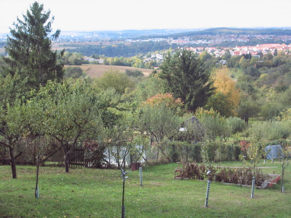
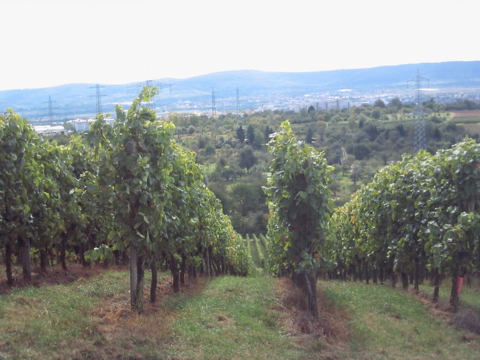
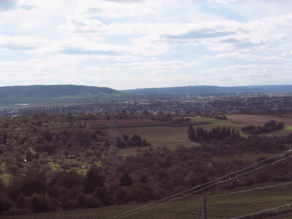
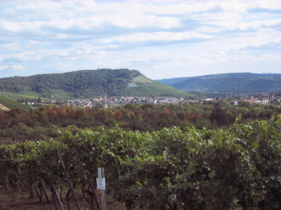
Entspannte Tour vom Wohngebiet Trappeler in Endersbach über den schön gelegenen Sörenberg bei Korb bis zum Biergarten auf der Schwaneninsel in Waiblingen, von wo es nach einer zünftigen Brotzeit entlang der Rems  zurück zum Ausgangspunkt in Endersbach geht.

Die Wanderung bietet schöne Ausblicke auf Rems- und Neckartal.

Tour gallery

Tour map and elevation profile

  • Open Street Map
  • Google
Minimum height 178 m Maximum height 369 m Detailed view

More about the tour author

Guddy
Member since 2009

Send private message

Comments

GPS tracks

Trackpoints
  • GPX / Garmin Map Source (gpx) download
  • TCX / Garmin Training Center® (tcx) download
  • CRS / Garmin Training Center® (crs) download
  • Google Earth (kml) download
  • G7ToWin (g7t) download
  • TTQV (trk) download
  • Overlay (ovl) download
  • Fugawi (txt) download
  • Kompass (DAV) Track (tk) download
  • Track data sheet (pdf) download
  • Original file of the author (gpx) download

More about the tour author

Guddy
Member since 2009

Send private message
Share track
Add to my favorites
Remove from my favorites
Edit tags
My score
Rate
Track: Sörenberg
Type: Hiking
Distance: 15,9 km
Evaluated on:
Duration:
Day(s)
Hour(s)
Minute(s)
Score: Landscape Fun factor Fitness Technique