


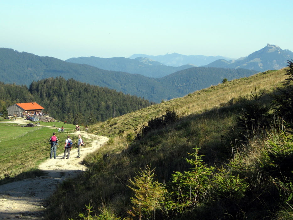
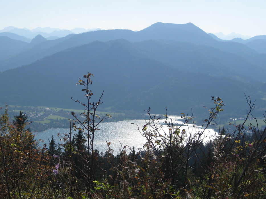
Von der Westseite des BOB-Bahnhofs in Hausham gehen wir die Doktor Franz Langeckerstraße hinunter, bis wir auf die Naturfreundestraße treffen. Diese führt uns auf den Hubertspitzweg. In Spitzkehren geht es den Huberspitz hinauf. Wir wandern ohne größere Steigungen auf dem Rainer Berg und dem Auer Berg weiter bis zur Gindel Alm in 1240m Höhe und zur Neureut Alm in 1260m Höhe. Von dort haben wir einen weiten Blick auf den Tegernsee und die dahinter liegenden Berge. Hier beginnt der - etwas beschwerliche - Abstieg über Schotterwege nach Tegernsee. Wir kommen auf die Gulbransson Straße und die Neureuthstraße. die uns zum BOB-Bahnhof Tegernsee bringen.
Die Tour wurde am 20. Juli 2012 (durch Nachgehen) aktualisiert.
Tour gallery

Tour map and elevation profile
Minimum height 762 m
Maximum height 1308 m
More about the tour author

|
frank_guenther |
Comments

Startpunkt der Bergtour ist der BOB-Bahnhof in Hausham,, Industriestraße: N47,750058174
E11,840493679
GPS tracks
Trackpoints-
GPX / Garmin Map Source (gpx) download
-
TCX / Garmin Training Center® (tcx) download
-
CRS / Garmin Training Center® (crs) download
-
Google Earth (kml) download
-
G7ToWin (g7t) download
-
TTQV (trk) download
-
Overlay (ovl) download
-
Fugawi (txt) download
-
Kompass (DAV) Track (tk) download
-
Track data sheet (pdf) download
-
Original file of the author (gpx) download
More about the tour author
|
|
frank_guenther |
Add to my favorites
Remove from my favorites
Edit tags
Open track
My score
Rate