Login

Forgotten password?

Cookies have to be accepted!
Your browser's cookie functionality is disabled. Please enable this functionality.

Not a member yet?

Register now
Login

Available for registred users only

Log in to use this feature.

Forgotten password?

Cookies have to be accepted!
Your browser's cookie functionality is disabled. Please enable this functionality.

Not a member yet?

Register now
Filter
Categories
Advanced filters
  • Distance (km)
  • Height
Save filters Reset filter

TrackRank

QRCode

Technical data

Distance41,4 km Height1507 m Way down1462 m Duration03:00 h:m Date06.10.2009
Scores Author Landscape Fun factor Fitness Technique

Statistics

2575 Views 2 Scores 573 Downloads 4.00 Average
Rate
  • Track data sheet
  • Directions
  • Downloads
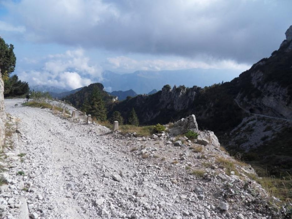
Von Vesio über San Michele auf den Monte Tremalzo, dann auf alten Kriegswegen zum Passo Nota durch mehrere Felsentunnel. Von dort auf weiterem Kriegspfad hinab nach Vesio.
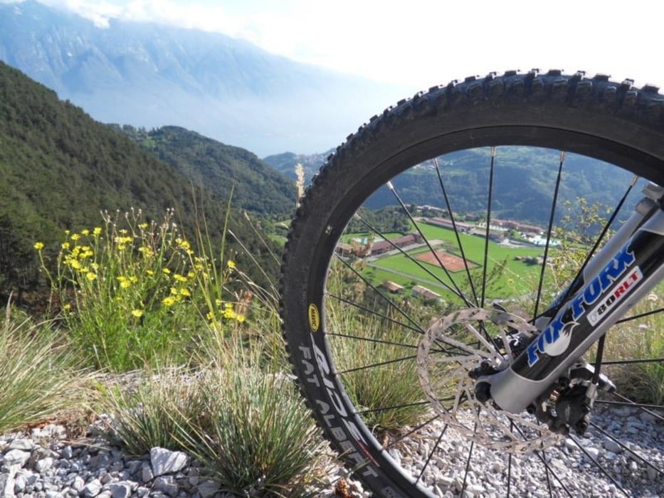
Tour gallery

Tour map and elevation profile

  • Open Street Map
  • Google
Minimum height 556 m Maximum height 1853 m Detailed view

More about the tour author

DrMountainBIKE
Member since 2009

Send private message

Comments

GPS tracks

Trackpoints
  • GPX / Garmin Map Source (gpx) download
  • TCX / Garmin Training Center® (tcx) download
  • CRS / Garmin Training Center® (crs) download
  • Google Earth (kml) download
  • G7ToWin (g7t) download
  • TTQV (trk) download
  • Overlay (ovl) download
  • Fugawi (txt) download
  • Kompass (DAV) Track (tk) download
  • Track data sheet (pdf) download
  • Original file of the author (gpx) download

More about the tour author

DrMountainBIKE
Member since 2009

Send private message
Share track
Add to my favorites
Remove from my favorites
Edit tags
My score
Rate
Track: Gardasee: Alte Kriegswege mit dem MTB - Tremalzotunnel
Type: Mountain bike
Distance: 41,4 km
Evaluated on:
Duration:
Day(s)
Hour(s)
Minute(s)
Score: Landscape Fun factor Fitness Technique