
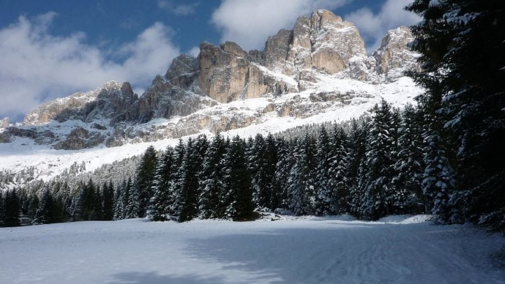

Geplant war eigenlich eine herbstliche Wanderung - angetroffen haben wir ca. 0,5 bis 1 Meter Schneehöhe und das Anfang Oktober.
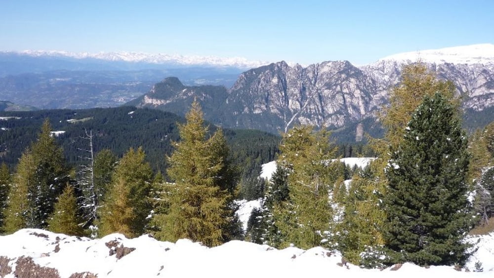
Die Wanderung führt unterhalb des mächtigen und wunderschönen Rosengarten mit Blick auf das Latemar-Gebirge - wie ich meine, eine der schönsten Gebirge!
Da bedingt durch den Schnee die Wanderung nicht ganz leicht war, ist die Einstufung etwas höher. Ich nehme jedoch an, dass es in schneefreien Zeiten eine relativ leichte Tour ist.
Tour gallery

Tour map and elevation profile
Minimum height 1543 m
Maximum height 2259 m
More about the tour author

|
Josch71 |
Comments

GPS tracks
Trackpoints-
GPX / Garmin Map Source (gpx) download
-
TCX / Garmin Training Center® (tcx) download
-
CRS / Garmin Training Center® (crs) download
-
Google Earth (kml) download
-
G7ToWin (g7t) download
-
TTQV (trk) download
-
Overlay (ovl) download
-
Fugawi (txt) download
-
Kompass (DAV) Track (tk) download
-
Track data sheet (pdf) download
-
Original file of the author (gpx) download
More about the tour author
|
|
Josch71 |
Add to my favorites
Remove from my favorites
Edit tags
Open track
My score
Rate