


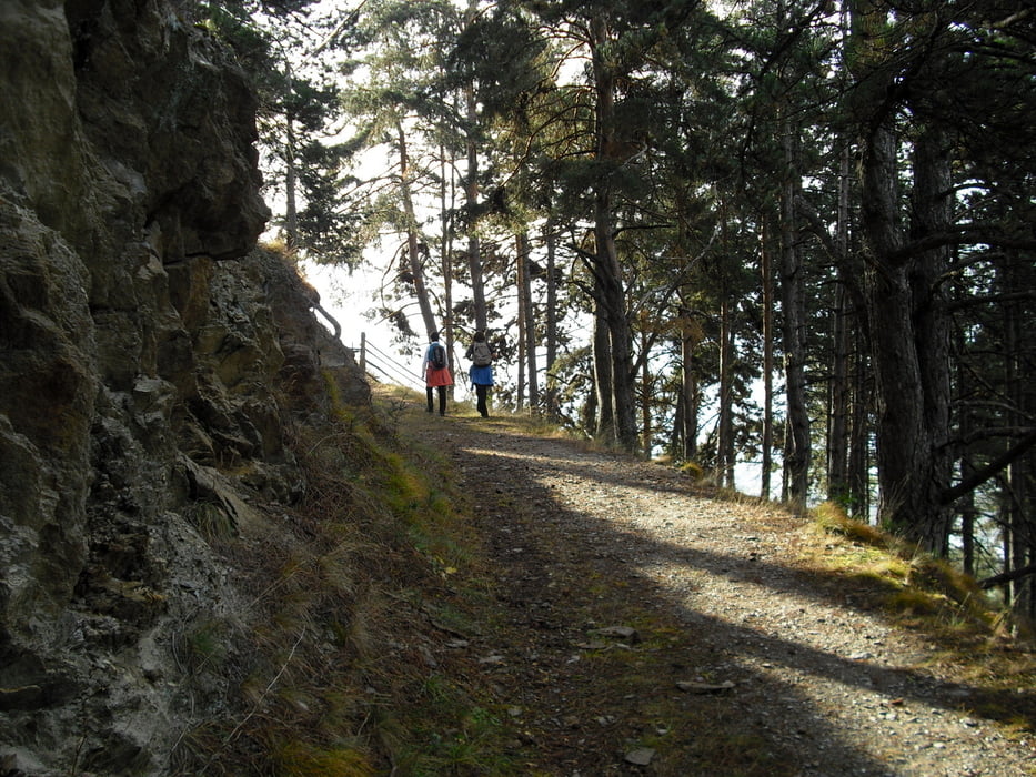
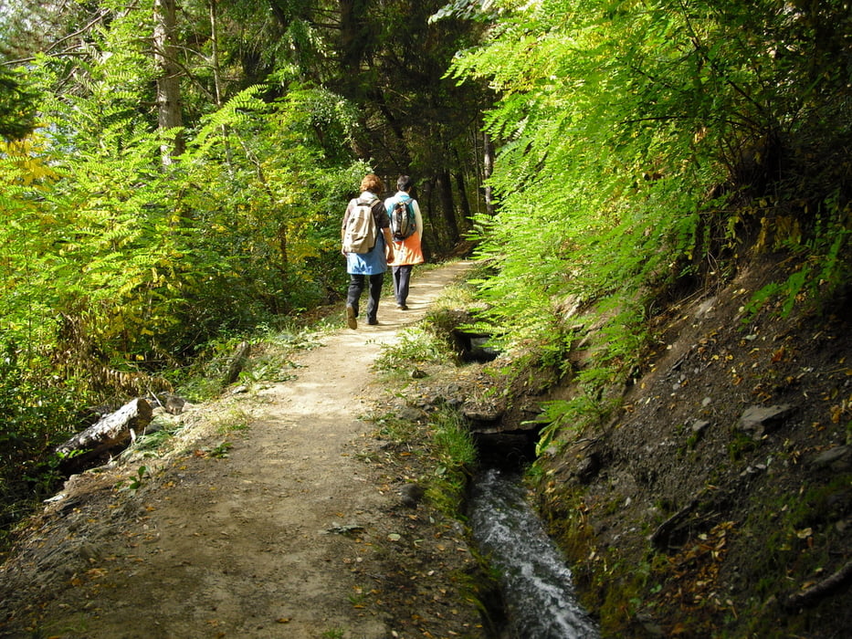
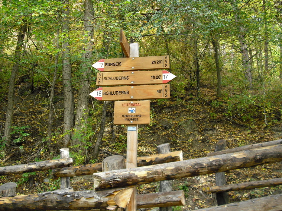
Start der Tour in Mals Ortsmitte. Weiter auf Weg 14/17 überm Sonnenberg Richtung Matsch halten. Bei km 3,7 kommen wir auf die Fahrstrasse nach Matsch, dieser folgen wir 2km bis zum Parkplatz mit Wegkreuz. Hier rechts halten(Weg 18) und bergab entlang dem Matschertal kommen wir durch Bergwald zum Schludernser Waalweg. Hier gibts die Auswahl nach Schluderns weiterzugehen und mit der Vinschgerbahn nach Mals zurückzufahren. Wir folgen dem Weg 17 Sonnensteig und gehen so zurück nach Mals.
www.mals.it
www.vinschgerbahn.it
Further information at
http://www.watles.comTour gallery
Tour map and elevation profile
Minimum height 1029 m
Maximum height 1437 m
More about the tour author
|
|
Bockrider |
Comments

Start in Mals Ortsmitte. Parkplatz Ortseinfahrt oder beim Bahnhof.
GPS tracks
Trackpoints-
GPX / Garmin Map Source (gpx) download
-
TCX / Garmin Training Center® (tcx) download
-
CRS / Garmin Training Center® (crs) download
-
Google Earth (kml) download
-
G7ToWin (g7t) download
-
TTQV (trk) download
-
Overlay (ovl) download
-
Fugawi (txt) download
-
Kompass (DAV) Track (tk) download
-
Track data sheet (pdf) download
-
Original file of the author (gpx) download
More about the tour author
|
|
Bockrider |
Add to my favorites
Remove from my favorites
Edit tags
Open track
My score
Rate