Login

Forgotten password?

Cookies have to be accepted!
Your browser's cookie functionality is disabled. Please enable this functionality.

Not a member yet?

Register now
Login

Available for registred users only

Log in to use this feature.

Forgotten password?

Cookies have to be accepted!
Your browser's cookie functionality is disabled. Please enable this functionality.

Not a member yet?

Register now
Filter
Categories
Advanced filters
  • Distance (km)
  • Height
Save filters Reset filter

TrackRank

QRCode

Technical data

Distance11,6 km Height361 m Way down353 m Duration03:20 h:m Date20.10.2009
Scores Author Landscape Fun factor Fitness Technique

Statistics

2356 Views Scores 296 Downloads Average
Rate
  • Track data sheet
  • Directions
  • Downloads
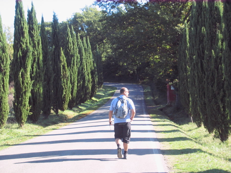
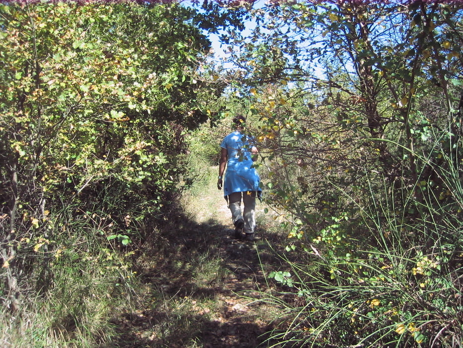
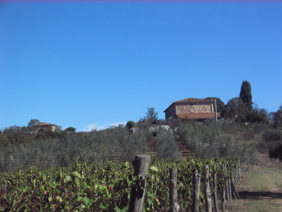
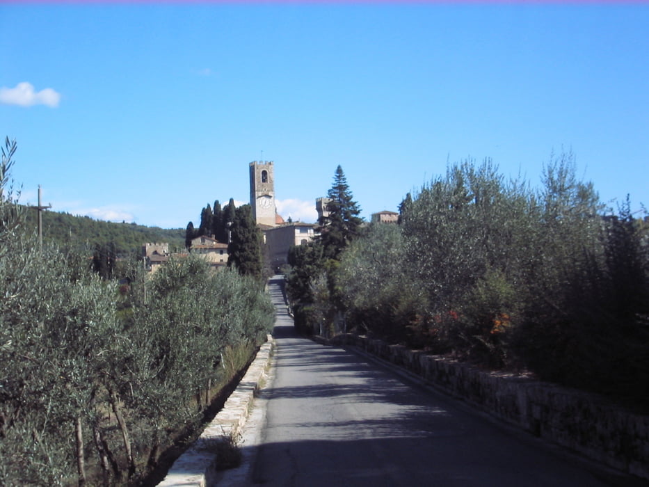
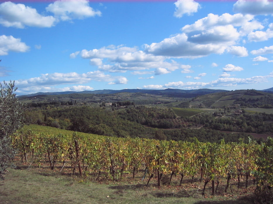
Schöne Wanderung zwischen S.Donato und Greve im chiantital überwiegend durch Wald und Weinberge auf gut präparierten Wegen. Höhepunkt neben der schönen Landschaft ist das verträumte Dorf Passignano mit seinem gehobenen Sternerestaurant. (Siehe tolle Homepage unten)

Further information at

http://www.osteriadipassignano.com/

Tour gallery

Tour map and elevation profile

  • Open Street Map
  • Google
Minimum height 183 m Maximum height 397 m Detailed view

More about the tour author

Guddy
Member since 2009

Send private message

Comments

GPS tracks

Trackpoints
  • GPX / Garmin Map Source (gpx) download
  • TCX / Garmin Training Center® (tcx) download
  • CRS / Garmin Training Center® (crs) download
  • Google Earth (kml) download
  • G7ToWin (g7t) download
  • TTQV (trk) download
  • Overlay (ovl) download
  • Fugawi (txt) download
  • Kompass (DAV) Track (tk) download
  • Track data sheet (pdf) download
  • Original file of the author (gpx) download

More about the tour author

Guddy
Member since 2009

Send private message
Share track
Add to my favorites
Remove from my favorites
Edit tags
My score
Rate
Track: im Chianti-Tal
Type: Hiking
Distance: 11,6 km
Evaluated on:
Duration:
Day(s)
Hour(s)
Minute(s)
Score: Landscape Fun factor Fitness Technique