


Kleine Wanderung am Benther Berg südlich von Hannover - empfehlenswerter Spaziergang.
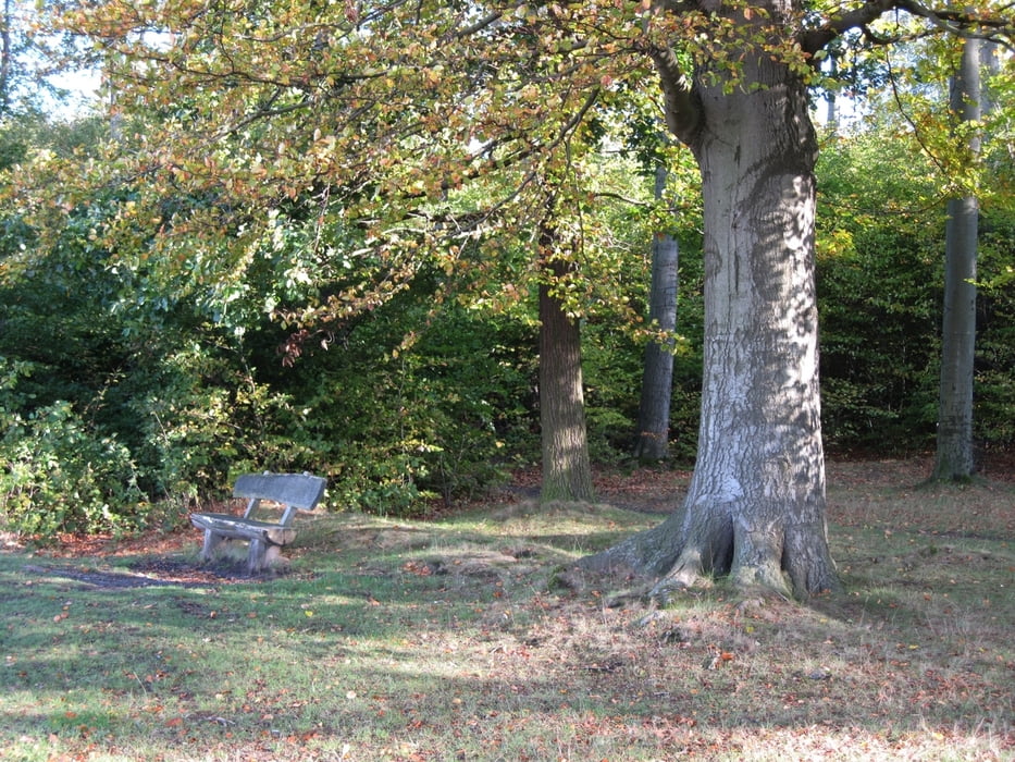
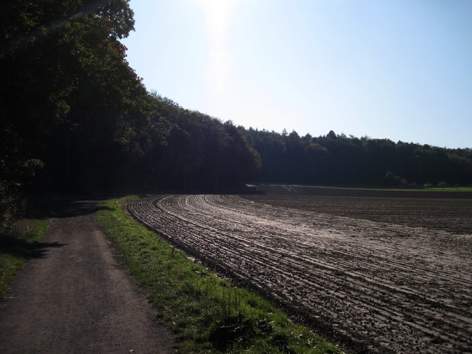
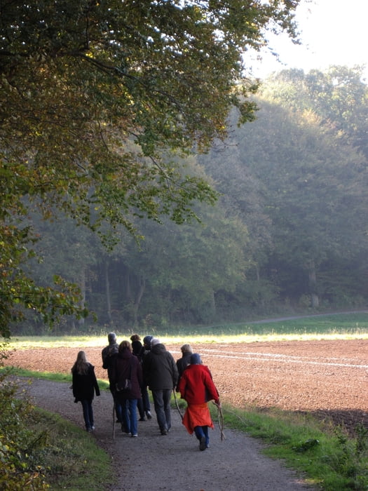
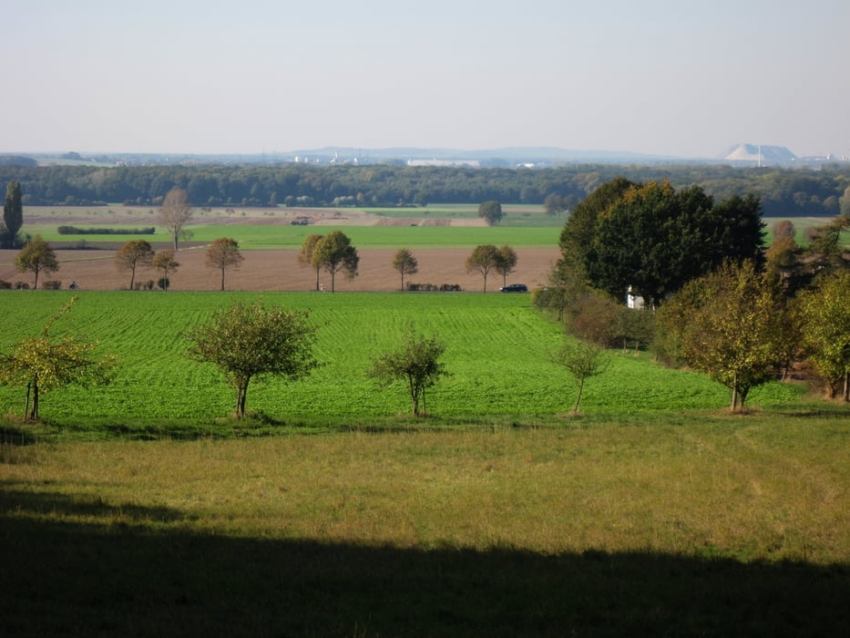
Ausgangspunkt ist ein kleiner Parkplatz an einem Hotel in Benthe. Der Weg führt zunächst duch den Wald bis auf die westliche Bergseite. Hier kann man einkehren und etwas trinken (Das Essen ist allerdings nicht empfehlenswert). In Richtung Süden geht es am sonnigen Waldrand entlang bis zum Parkplatz zurück.
(Haftungsausschluss: siehe Nutzungsbestimmungen)
Further information at
http://de.wikipedia.org/wiki/BentheTour gallery
Tour map and elevation profile
Minimum height 72 m
Maximum height 132 m
More about the tour author
|
|
riemchens |
Comments

Von Gehrden aus nach Benthe - leicht zu finden.
GPS tracks
Trackpoints-
GPX / Garmin Map Source (gpx) download
-
TCX / Garmin Training Center® (tcx) download
-
CRS / Garmin Training Center® (crs) download
-
Google Earth (kml) download
-
G7ToWin (g7t) download
-
TTQV (trk) download
-
Overlay (ovl) download
-
Fugawi (txt) download
-
Kompass (DAV) Track (tk) download
-
Track data sheet (pdf) download
-
Original file of the author (gpx) download
More about the tour author
|
|
riemchens |
Add to my favorites
Remove from my favorites
Edit tags
Open track
My score
Rate