


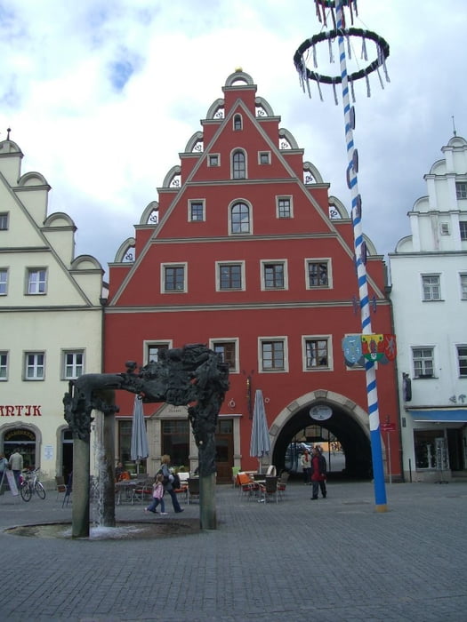
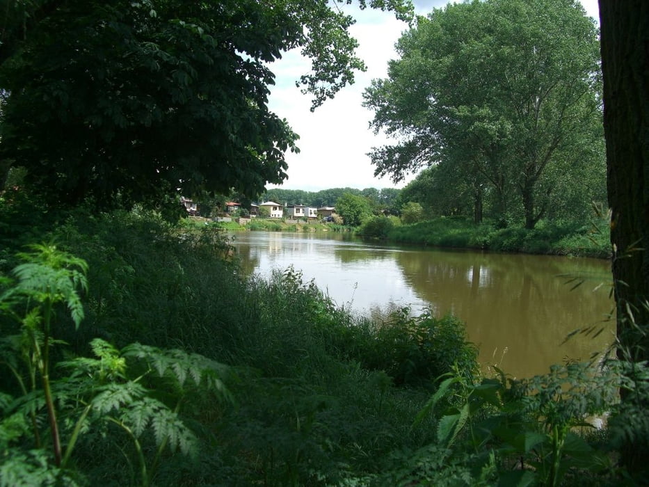
Wer mal ein kleines Abenteuer unternehmen möchte ...
Zeit: 4,5 Tage (kann auch in 4 Tagen gemacht werden, ist aber Stress)
Wegbeschaffenheit:
- Bayern: gut bis sehr gut
- Tschechien: teilweise anspruchsvoll (steile Steigungen, steinige und schlammige Wege) aber mit Trekkingbike machbar
Versorgung:
- Bayern: sehr gut
- Tschechien: vorausschauend fahren – nicht immer findet man eine Unterkunft oder ein Gasthaus.
Leider haben wir nicht immer dem offiziellen Weg folgen können. Der GPX Track ist somit nicht 100%-tig aber sicherlich ein guter Anhaltspunkt.
Further information at
http://www.paneuropa-radweg.de/Tour gallery


Tour map and elevation profile
Minimum height 189 m
Maximum height 627 m
More about the tour author
|
|
mini-titan |
Comments

GPS tracks
Trackpoints-
GPX / Garmin Map Source (gpx) download
-
TCX / Garmin Training Center® (tcx) download
-
CRS / Garmin Training Center® (crs) download
-
Google Earth (kml) download
-
G7ToWin (g7t) download
-
TTQV (trk) download
-
Overlay (ovl) download
-
Fugawi (txt) download
-
Kompass (DAV) Track (tk) download
-
Track data sheet (pdf) download
-
Original file of the author (gpx) download
More about the tour author
|
|
mini-titan |
Add to my favorites
Remove from my favorites
Edit tags
Open track
My score
Rate