


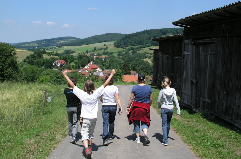
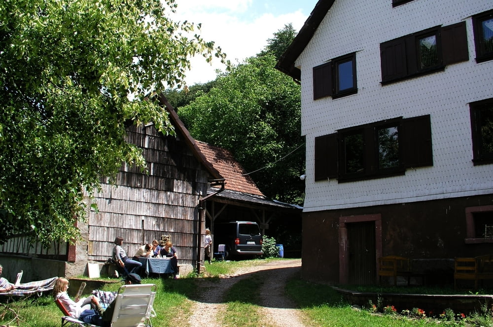
Kleine Rundwanderung von der Stickelmühle in Unter Ostern bis zur Irrbachquelle und zurück - schöner Ausflug!
(Haftungsausschluss: siehe Nutzungsbestimmungen)
Further information at
http://de.wikipedia.org/wiki/Reichelsheim_%28Odenwald%29Tour gallery

Tour map and elevation profile
Minimum height 222 m
Maximum height 378 m
More about the tour author
|
|
riemchens |
Comments

Von Reichelsheim auf der B38 nach Osten fahren und nach ca. 2 km rechts auf die L3105 in Richtung Unter-Ostern. Ca. 500m hinter Unter-Ostern geht es rechts ab zur Stickelmühle (ausgeschildert).
GPS tracks
Trackpoints-
GPX / Garmin Map Source (gpx) download
-
TCX / Garmin Training Center® (tcx) download
-
CRS / Garmin Training Center® (crs) download
-
Google Earth (kml) download
-
G7ToWin (g7t) download
-
TTQV (trk) download
-
Overlay (ovl) download
-
Fugawi (txt) download
-
Kompass (DAV) Track (tk) download
-
Track data sheet (pdf) download
-
Original file of the author (gpx) download
More about the tour author
|
|
riemchens |
Add to my favorites
Remove from my favorites
Edit tags
Open track
My score
Rate