Login

Forgot your login?

Cookies have to be accepted!
Your browser's cookie functionality is disabled. Please enable this functionality.

Not a member yet?

Register now
Login

Available for registred users only

Log in to use this feature.

Forgot your login?

Cookies have to be accepted!
Your browser's cookie functionality is disabled. Please enable this functionality.

Not a member yet?

Register now
Filter
Categories
Advanced filters
  • Distance (km)
  • Height
Save filters Reset filter

TrackRank

QRCode

Technical data

Distance42,0 km Height72 m Way down70 m Duration00:00 h:m Date28.10.2009
Scores Author Landscape Fun factor Fitness Technique

Statistics

410 Views Scores 34 Downloads Average
Rate
  • Track data sheet
  • Directions
  • Downloads
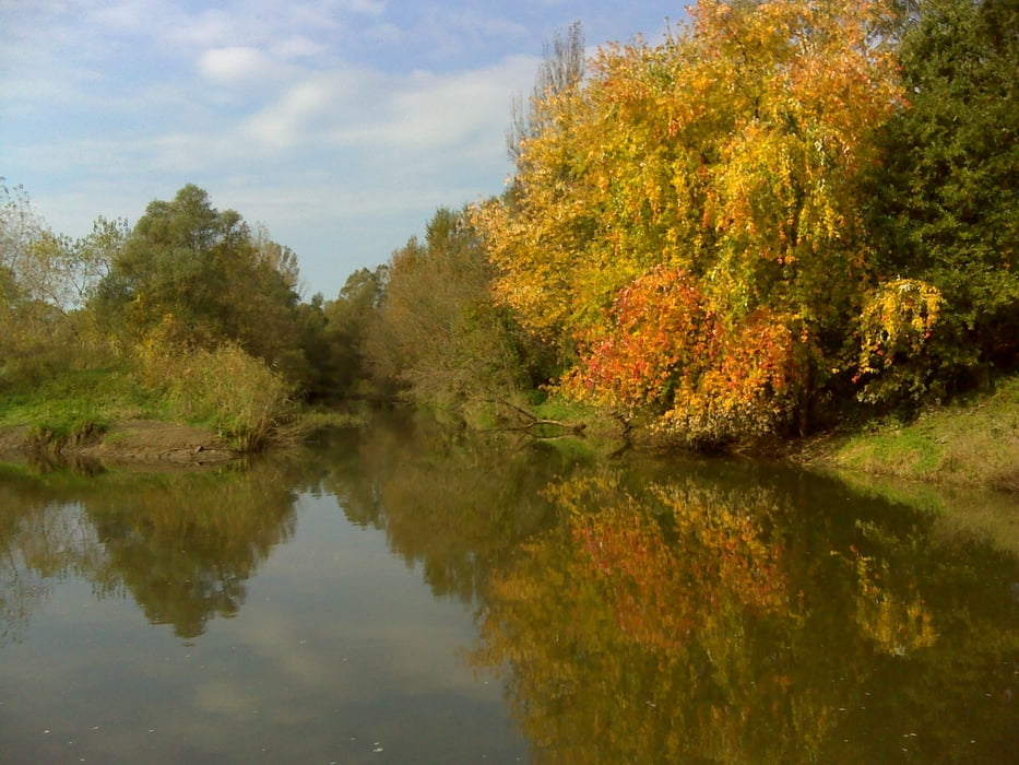
Najbolj vzhoden konec Slovenije, kamor se je se dalo priti s kolesom. Del poti je po protipoplavnih nasipih, del po blatnih do zelo blatnih kolovozih. Priporocam gorska kolesa in suho vreme.

Tour gallery

Tour map and elevation profile

  • Open Street Map
  • Google
Minimum height 150 m Maximum height 175 m Detailed view

More about the tour author

emunda
Member since 2009

Send private message

Comments

GPS tracks

Trackpoints
  • GPX / Garmin Map Source (gpx) download
  • TCX / Garmin Training Center® (tcx) download
  • CRS / Garmin Training Center® (crs) download
  • Google Earth (kml) download
  • G7ToWin (g7t) download
  • TTQV (trk) download
  • Overlay (ovl) download
  • Fugawi (txt) download
  • Kompass (DAV) Track (tk) download
  • Track data sheet (pdf) download
  • Original file of the author (gpx) download

More about the tour author

emunda
Member since 2009

Send private message
Share track
Add to my favorites
Remove from my favorites
Edit tags
My score
Rate
Track: Kurji kljun
Type: Bicycle tours
Distance: 42,0 km
Evaluated on:
Duration:
Day(s)
Hour(s)
Minute(s)
Score: Landscape Fun factor Fitness Technique