


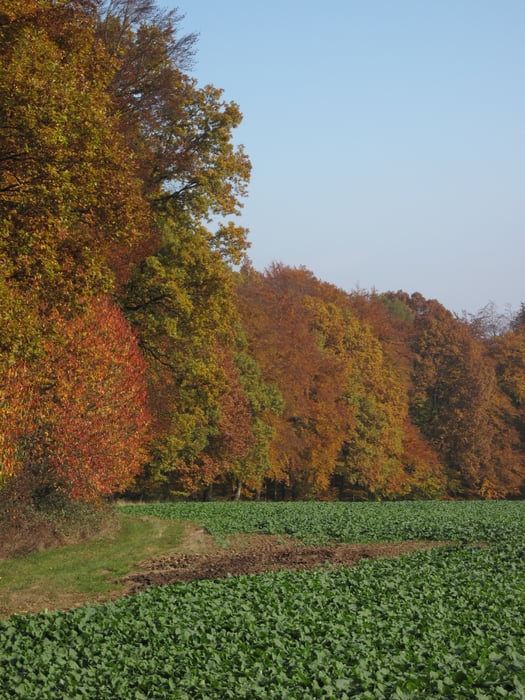
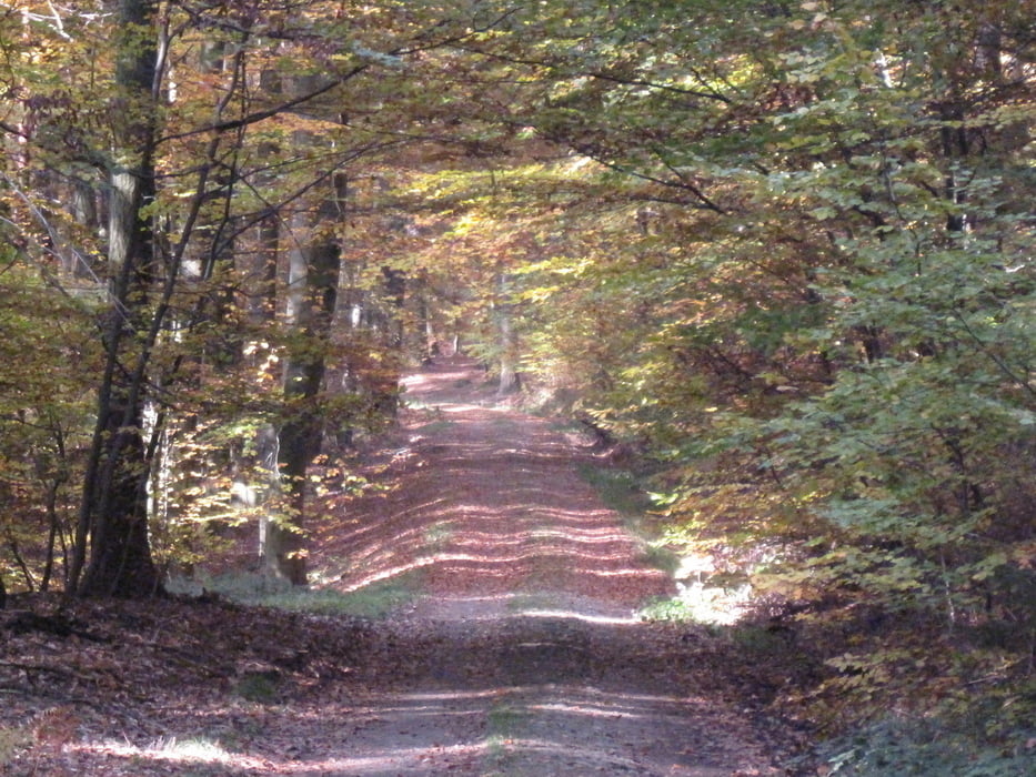
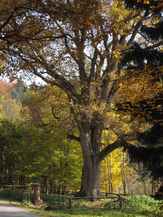
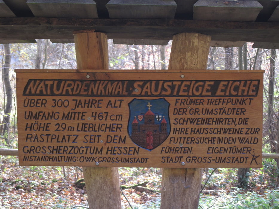
Schöne Herbstwanderung vom Naturparkplatz bei Dorndiel zur Sausteiger Brunneneiche. Die Eiche war früher ein Treffpunkt für die Sauhirten, die ihre Schweine dann zur Futtersuche in die umliegenden Wälder getrieben haben.
Ein weiterer Wegepunkt auf der Tour ist ein Denkmal, das einem Holzarbeiter gewidmet wurde, der hier von einem umstürzenden Baum erschlagen wurde.
(Haftungsausschluss: siehe Nutzungsbestimmungen)
Further information at
http://de.wikipedia.org/wiki/DorndielTour gallery
Tour map and elevation profile
Minimum height 255 m
Maximum height 357 m
More about the tour author
|
|
riemchens |
Comments

In Groß-Umstadt auf die L3413 durch Raibach bis ca 1 km vo Dorndiel. Hier auf den Naturparkplatz rechts in den Wald (ausgeschildert).
GPS tracks
Trackpoints-
GPX / Garmin Map Source (gpx) download
-
TCX / Garmin Training Center® (tcx) download
-
CRS / Garmin Training Center® (crs) download
-
Google Earth (kml) download
-
G7ToWin (g7t) download
-
TTQV (trk) download
-
Overlay (ovl) download
-
Fugawi (txt) download
-
Kompass (DAV) Track (tk) download
-
Track data sheet (pdf) download
-
Original file of the author (gpx) download
More about the tour author
|
|
riemchens |
Add to my favorites
Remove from my favorites
Edit tags
Open track
My score
Rate